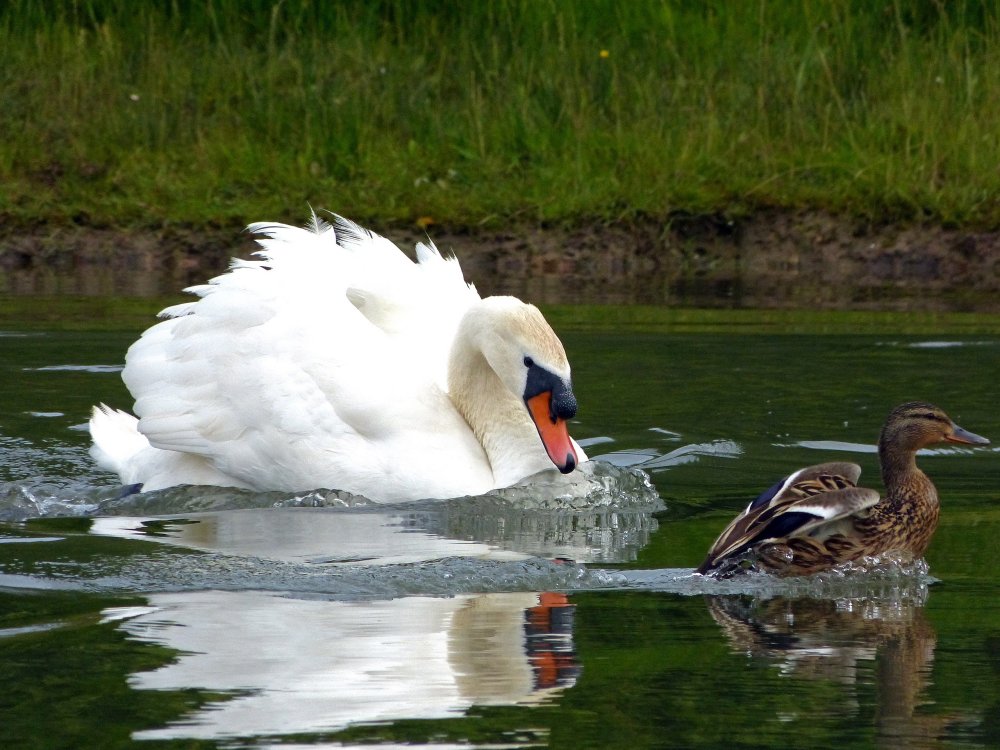
Farrington Lake
( 40.43371, -74.47989 )

  1. Davidson's Mill Pond - East Brunswick ( 40.41117, -74.49789 )
  2. Farrington Lake - East Brunswick (C) ( 40.42465, -74.47680 )
  3. Farrington Lake - East Brunswick (N) ( 40.43900, -74.46646 )
  4. Farrington Lake - East Brunswick (S) ( 40.42201, -74.48242 )
  5. Lawrence Brook - Milltown (E) ( 40.45144, -74.43663 )
  6. Lawrence Brook - Milltown (W) ( 40.44831, -74.44367 )
  7. Weston's Mill Pond - East Brunswick ( 40.46677, -74.42603 )

This is the biggest of the lakes and ponds created by damming the Lawrence Brook. The map is centered on the northernmost launch site, which is the most central on the lake. There are two more access points to the south, which can be useful if you want to explore up the Lawrence Brook.

Printed from njkayak.net