Home
Select a county to begin
This website is integrated with OpenLayers maps – you can zoom and scroll the imagery to get a better view. Click on a green dot to load a county map. I have also added a Message Board where you can create your own account and use to arrange meet-ups, etc.
By Ronald M. Clayton
Illustrations by author
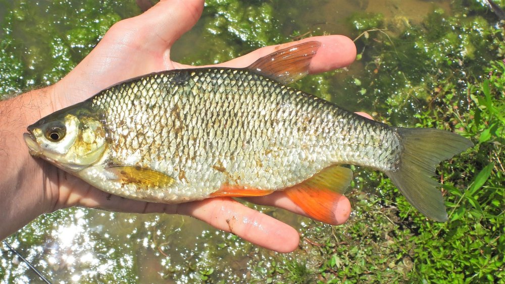
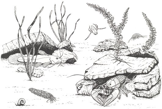
Maintaining an aquarium filled with local fish and other aquatics can be an enjoyable, learning experience, and give you a good excuse to get out and stomp around in your local pond or stream. It’s fun collecting new animals and plants to add to the aquarium, to replace ones that have died, or as food for your locally acquired fish, and learning about your wildlife is a fascinating part of the experience. In the shimmering shallows and mysterious depths of almost any nearby body of water thrives a whole world of living things, some very ugly and some very beautiful – the variety will amaze you. If you are interested in providing inexpensive recreation and education for yourself and perhaps your family, read on.
More: An Aquarium For the Naturalist …
Dragonflies
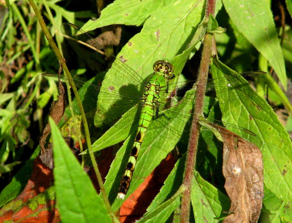
Dragonflies are aerial predators with a strong liking for water, so you are very likely to get ‘buzzed’ while out kayaking. They are harmless to humans. Dragonfly larvae are fully aquatic little nightmares. There are many kinds of dragonflies in the region, too many to list.
More: Dragonflies etc …