Note: New Jersey law requires the wearing of a PFD from November 1 through May 1.

Algae, Duckweed & Sponges

Algae

Yuck!

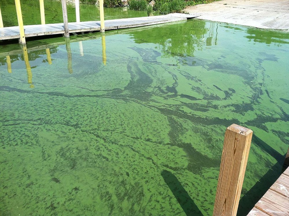
Unlike marine algae, freshwater algae is usually little more than green slime. Much of it is actually microscopic single-celled organisms that form the base of the food chain. That is why the water is green ( when it is green. ) *

-- Wikipedia

* This is New Jersey ... Lord knows why the water is green. Try not to think about it.


Duckweed

magnified, actual size ~ 1/8"

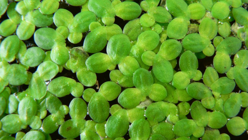
You may find yourself paddling through masses of tiny green floating flecks. That is Duckweed. Duckweed is the tiniest of true plants, just a single leaf and a hair-like root.

-- Wikipedia


Sponges

Again, Yuck!

Freshwater sponges are nothing to write home about. They are typically just a colorless ( or sometimes green ) mass of goo that you wouldn't want to touch, unlike marine sponges which are often big and colorful. Sponges are animals, not plants, but they act like plants, so I'm putting them here.

-- Wikipedia


Rahway River
( 40.68294, -74.33542 )

  1. Orange Reservoir - Rahway River ( 40.75964, -74.28903 )
  2. Rahway River - Clark ( 40.62884, -74.29746 )
  3. Rahway River - Cranford (N) ( 40.66036, -74.30627 )
  4. Rahway River - Cranford (S) ( 40.65097, -74.30133 )
  5. Rahway River - Cranford (W) ( 40.65900, -74.30997 )
  6. Rahway River - Jackson's Pond ( 40.62805, -74.28492 )
  7. Rahway River - Lenape Park ( 40.67407, -74.31426 )
  8. Rahway River - Mohawk Park ( 40.64041, -74.29408 )
  9. Rahway River - Nomahegan Lake ( 40.66832, -74.31741 )
  10. Rahway River - Park ( 40.62040, -74.28944 )
  11. Rahway River - Rahway ( 40.59952, -74.26856 )
  12. Rahway River - South Branch (E) ( 40.60010, -74.27397 )
  13. Rahway River - South Branch (W) ( 40.57998, -74.30463 )
  14. Rahway River - South Mountain ( 40.73112, -74.30704 )
  15. Rahway River - Springfield ( 40.70824, -74.30186 )
  16. Robinson's Branch - Rahway River ( 40.61839, -74.30495 )

The Rahway River rises in Essex County as two separate branches. The West Branch begins at spring-fed Crystal Lake in West Orange and flows south through the South Mountain Reservation in the valley between first and second ridges of the Watchung Mountains. It runs directly through downtown Millburn. The East Branch rises as a surface stream in West Orange and forms part of the boundary between West Orange and Orange, then travels through the towns of South Orange and Maplewood.

The two branches meet at Hobart Gap near Interstate 78, continuing south through the Union County communities of Springfield, Union, Cranford and Clark. In Rahway the river receives the Robinson's Branch and South Branch, which are approximately 10 miles long. The South Branch starts in Roosevelt Park in Edison behind the Menlo Park Mall, and flows through Edison, Iselin, and Rahway. The river's mouth is at the Arthur Kill between Carteret (on the south) and Linden (on the north), opposite Port Mobil on Staten Island.