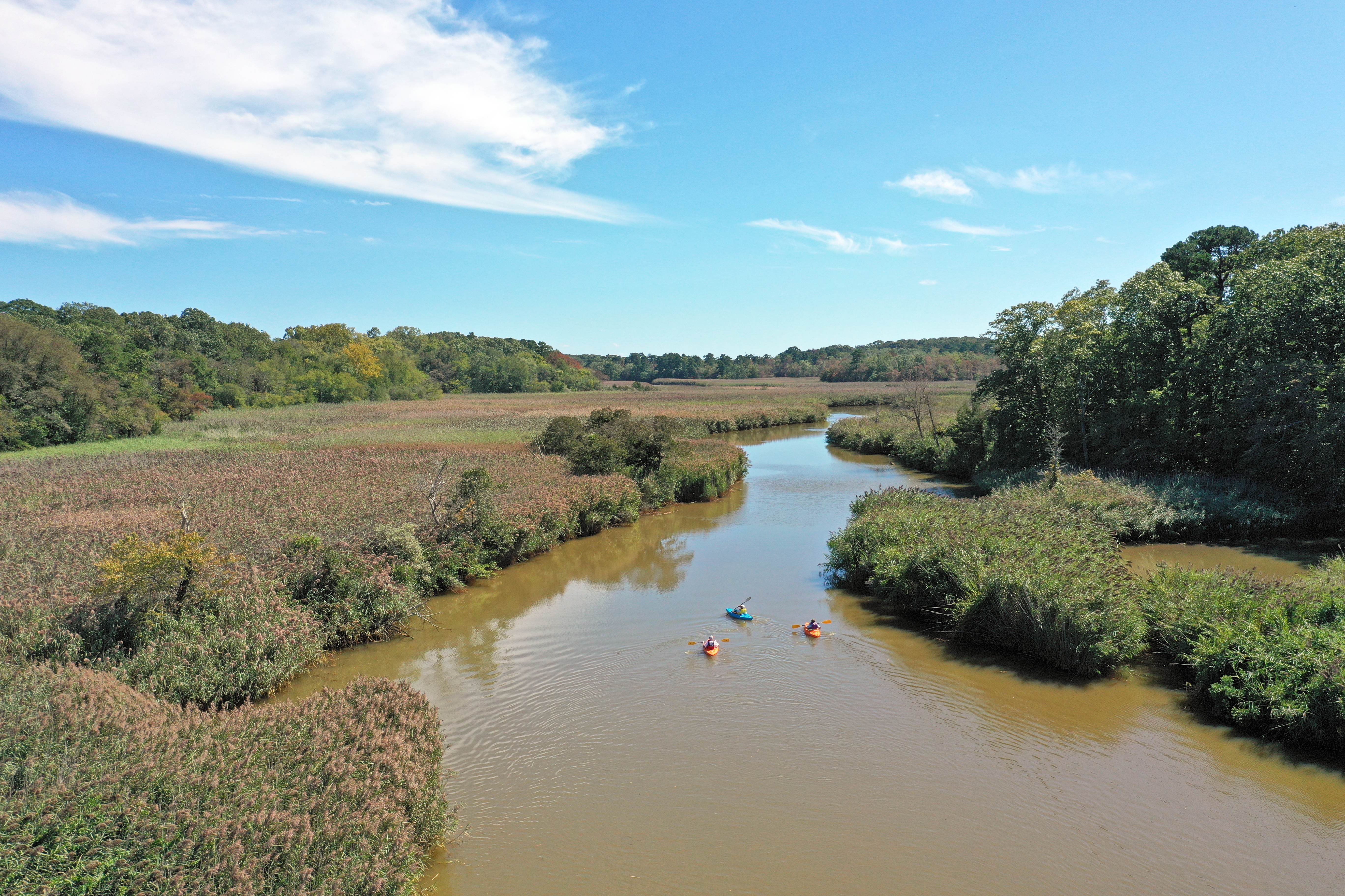
Manasquan River

Manasquan River
( 40.13856, -74.09820 )

  1. Manasquan River - Allaire ( 40.14376, -74.11673 )
  2. Manasquan River - Beverly Beach ( 40.10498, -74.09649 )
  3. Manasquan River - Brice Park ( 40.13764, -74.11038 )
  4. Manasquan River - Dog Beach ( 40.10623, -74.03785 )
  5. Manasquan River - Glimmer Glass ( 40.11653, -74.04946 )
  6. Manasquan River - Howell ( 40.17519, -74.16981 )
  7. Manasquan River - Ramshorn Drive ( 40.11961, -74.09418 )
  8. Manasquan River - Riverfront Park ( 40.08835, -74.07142 )
  9. Manasquan River - RR Bridge ( 40.10052, -74.04905 )
  10. Manasquan River - WMA ( 40.13689, -74.10431 )

The Manasquan Canal is off-limits.

Manasquan River WMA (orange map pin)

Manasquan River WMA
( 40.13695, -74.10895 )

  1. Manasquan River - Allaire ( 40.14376, -74.11673 )
  2. Manasquan River - Beverly Beach ( 40.10498, -74.09649 )
  3. Manasquan River - Brice Park ( 40.13764, -74.11038 )
  4. Manasquan River - Dog Beach ( 40.10623, -74.03785 )
  5. Manasquan River - Glimmer Glass ( 40.11653, -74.04946 )
  6. Manasquan River - Howell ( 40.17519, -74.16981 )
  7. Manasquan River - Ramshorn Drive ( 40.11961, -74.09418 )
  8. Manasquan River - Riverfront Park ( 40.08835, -74.07142 )
  9. Manasquan River - RR Bridge ( 40.10052, -74.04905 )
  10. Manasquan River - WMA ( 40.13689, -74.10431 )
Tides

Comments on Manasquan River

Questions or Inquiries?

Just want to say Hello? Sign the .

Submit a Comment

Your email address will not be published. Required fields are marked *


Click image to replace if unable to read.

Enter the digits from the image above, except for the last one:

This site uses Akismet to reduce spam. Learn how your comment data is processed.


Passaic River
( 40.80476, -74.31517 )

  1. Newark Bay - Bayonne ( 40.66284, -74.13305 )
  2. Newark Bay - Rutkowski Park ( 40.68882, -74.11216 )
  3. Passaic River - Basking Ridge ( 40.69503, -74.51600 )
  4. Passaic River - Chatham ( 40.73795, -74.37159 )
  5. Passaic River - Chatham ( 40.72583, -74.38948 )
  6. Passaic River - Dead River ( 40.65005, -74.52464 )
  7. Passaic River - East Hanover (N) ( 40.82749, -74.33529 )
  8. Passaic River - East Hanover (S) ( 40.82581, -74.33332 )
  9. Passaic River - Elmwood Park ( 40.90965, -74.13188 )
  10. Passaic River - Fairfield ( 40.89775, -74.27988 )
  11. Passaic River - Hawthorne ( 40.93992, -74.15224 )
  12. Passaic River - Kearny ( 40.76313, -74.15933 )
  13. Passaic River - Livingston ( 40.77879, -74.36862 )
  14. Passaic River - Memorial Park ( 40.92865, -74.14193 )
  15. Passaic River - Newark ( 40.73326, -74.15206 )
  16. Passaic River - Nutley ( 40.81175, -74.13909 )
  17. Passaic River - Passaic ( 40.86506, -74.11144 )
  18. Passaic River - Riverside County Park (N) ( 40.81865, -74.13348 )
  19. Passaic River - Riverside County Park (S) ( 40.80182, -74.13801 )
  20. Passaic River - Rutherford ( 40.82349, -74.12280 )
  21. Passaic River - Veteran's Park ( 40.85042, -74.11898 )
  22. Passaic River - Warren ( 40.67078, -74.46441 )

The lower Passaic River is extremely polluted. I wouldn't go anywhere near it.