Places
- Monmouth County ...
- Ocean County ...
- Somerset County ...

Prospertown Lake is not a park, it is a "Wildlife Management Area", and falls under a completely different set of regulations, which you can find here:
- https://dep.nj.gov/njfw/wildlife/wildlife-management-area-regulations
From the state website:
Any vehicle used to transport or launch a vessel or water conveyance on the following WMAs must have affixed to the lower corner of the driver’s side rear window a Boat Ramp Maintenance Permit or a photocopy of a current hunting, fishing or trapping license showing the Conservation ID Number (CID#). Identifying information other than the CID# may be blacked out to protect your identity. Boat Ramp Maintenance Permits may be purchased for a fee of $15.00 from any license agent or Fish and Wildlife’s license Web site (under “Wildlife Management Area Use Permits” after logging in and selecting to make a purchase).
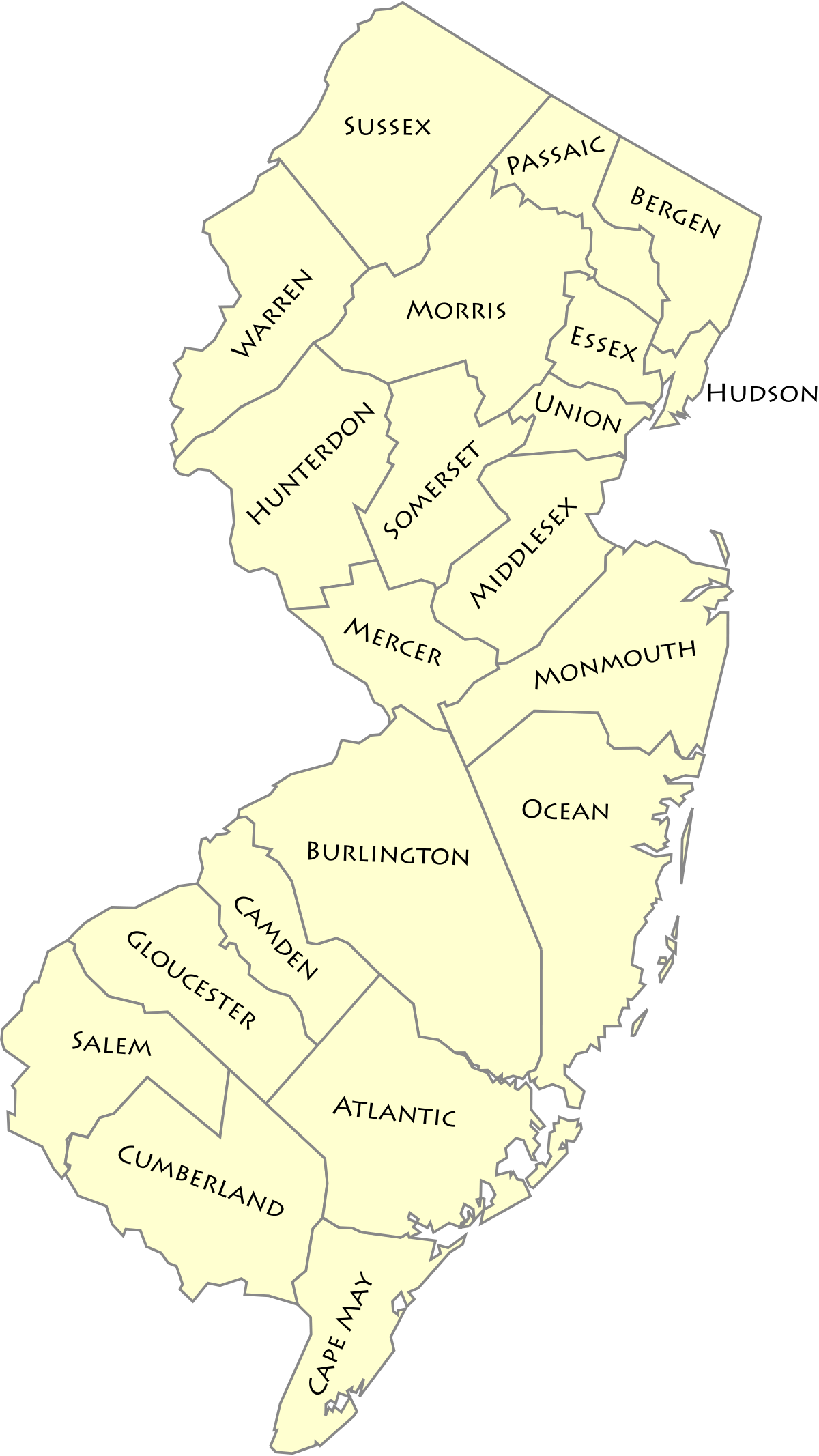
This is a nice clean lake that straddles the border between Monmouth and Ocean Counties. The neat thing about it is, if you scroll the map to the upper-right corner, that is not some industrial park, that is Great Adventure! This is the lake that is at the back of the park. At the east end of the lake, you are looking up at all the rides, while to the south is the Safari Park. You can see more water from there, but I wouldn't jump any of the dykes, as that would put you on Great Adventure's property, or maybe in the lion pen. It's not a big lake, but there is plenty of shoreline to inspect. There is a small dam at the western end. No real facilities, just parking.
More: Prospertown Lake - Jackson ...
This is a difficult area to even gain access to, for a number of reasons:
Almost the entire waterfront in Old Bridge township is now fenced-off. This is because not that many years ago, the jetties and seawalls were constructed not from rock, but from slag from a lead foundry in Perth Amboy. The slag was later determined to be toxic - what a surprise! Supposedly, much of it has been cleaned up, but the whole area remains 'off-limits'. Since the poisons leach into the water and are carried off by the currents, you really have to wonder about the entire bay.