Delaware & Raritan Canal (1/3)
- D-R Canal - Amwell Rd ( 40.50340, -74.58268 )
- D-R Canal - Blackwells Mills ( 40.47550, -74.57220 )
- D-R Canal - Griggstown (N) ( 40.43834, -74.61397 )
- D-R Canal - Griggstown (S) ( 40.42912, -74.61816 )
- D-R Canal - Kingston (N) ( 40.37489, -74.61854 )
- D-R Canal - Kingston (S) ( 40.37326, -74.61861 )
- D-R Canal - Lawrence (N) ( 40.27450, -74.70332 )
- D-R Canal - Lawrence (S) ( 40.26746, -74.71071 )
- D-R Canal - Lawrenceville ( 40.30501, -74.68490 )
- D-R Canal - Manville ( 40.52861, -74.58178 )
- D-R Canal - New Brunswick ( 40.50806, -74.46376 )
- D-R Canal - North Trenton ( 40.24901, -74.72865 )
- D-R Canal - Plainsboro (E) ( 40.34321, -74.62964 )
- D-R Canal - Plainsboro (W) ( 40.34190, -74.63758 )
- D-R Canal - Princeton (N) ( 40.33879, -74.64715 )
- D-R Canal - Princeton (S) ( 40.33224, -74.65186 )
- D-R Canal - Province Line Rd ( 40.30273, -74.68819 )
- D-R Canal - Rocky Hill ( 40.39826, -74.62702 )
- D-R Canal - Somerset (N) ( 40.54077, -74.51404 )
- D-R Canal - Somerset (S) ( 40.52390, -74.49248 )
- D-R Canal - South Bound Brook ( 40.55880, -74.53118 )
- D-R Canal - Trenton (N) ( 40.23886, -74.74194 )
- D-R Canal - Trenton (S) ( 40.18384, -74.74666 )
- D-R Canal - West Windsor ( 40.30844, -74.67979 )
- D-R Feeder Canal - Bull Island ( 40.41036, -75.03421 )
- D-R Feeder Canal - Ewing ( 40.26529, -74.84790 )
- D-R Feeder Canal - Lambertville (S) ( 40.34206, -74.94044 )
- D-R Feeder Canal - Rt 202 ( 40.37987, -74.95175 )
- D-R Feeder Canal - Washington Crossing ( 40.29842, -74.86852 )
- D-R Feeder Canal - West Trenton ( 40.24497, -74.81917 )
- Lake Carnegie - Plainsboro ( 40.34362, -74.62973 )
- Millstone River - Blackwells Mills ( 40.47487, -74.57503 )
- Millstone River - Griggstown ( 40.43898, -74.61783 )
- Millstone River - Kingston ( 40.37419, -74.61962 )
- Millstone River - Manville ( 40.53124, -74.58753 )
- Millstone River - Plainsboro (N) ( 40.34262, -74.62981 )
- Stony Brook - Princeton ( 40.33219, -74.65340 )
The green line on the map above is the Delaware & Raritan, or D&R, Canal. The canal is a basically 40-mile-long pond. The water flows very slowly from west to east; it is essentially still. Access points generally coincide with bridges or locks.
The thin red line is the "fall line" - the nominal division between uplands and lowlands. It appears the builders of the canal wanted to stay above the fall line for the entire length, and followed the Millstone and Raritan Rivers. The orange line is the divide between east and west drainages.
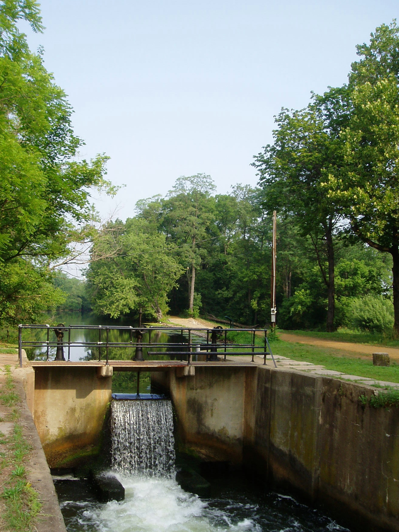
Locks on the canal occur roughly every two miles. The locks are impassible, although easily portaged around. This breaks the canal up into many sections of 4-5 miles round-trip, lock-to-lock.
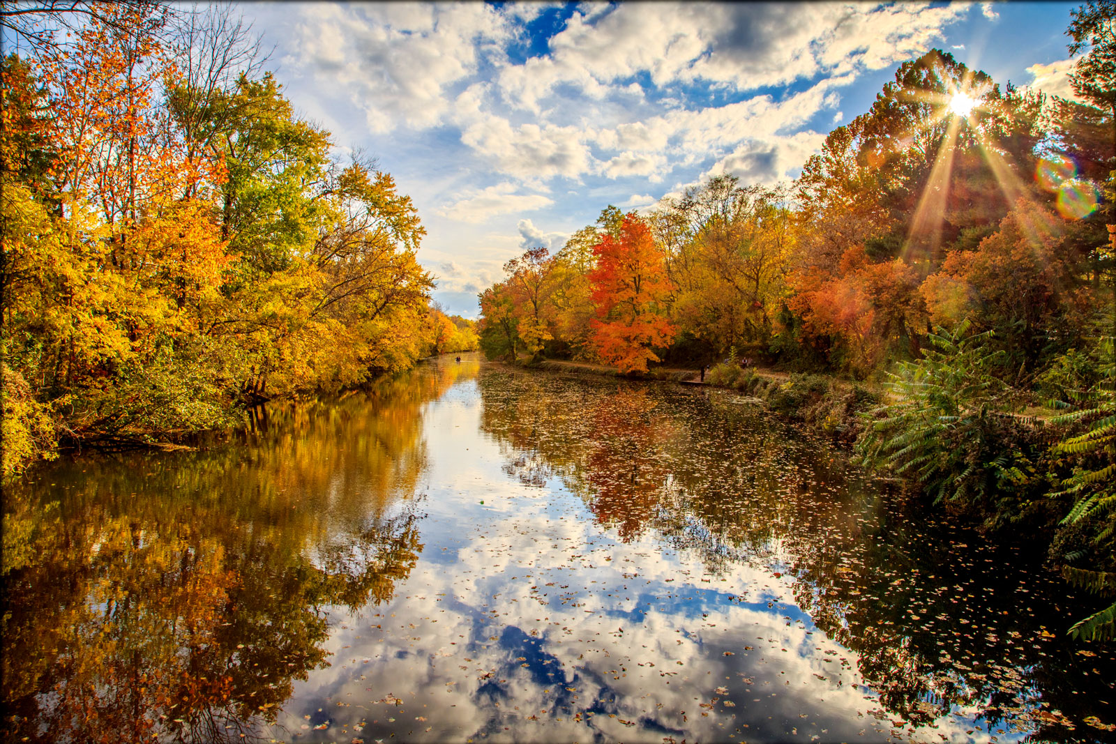
Most of the access points offer a choice of direction - 'upstream' or 'downstream', or both if you're feeling ambitious. If you get tired of paddling, fishing includes sunnies, bass, crappie, yellow perch, and some pretty big channel cats in the deeper basins. Also a nice place for photography, especially in the fall when the colors reflect on the still water. In some places, the canal runs pretty close to some busy roads, and the noise can be a bother.

Questions or Inquiries?
Just want to say Hello? Sign the .