Shadow Lake - Middletown
- Navesink River - Claypit Creek ( 40.39367, -74.02062 )
- Navesink River - Fair Haven ( 40.36647, -74.04204 )
- Navesink River - Red Bank ( 40.35212, -74.06980 )
- Navesink River - Rumson (E) ( 40.37649, -73.99990 )
- Navesink River - Rumson (W) ( 40.37650, -74.01310 )
- Shadow Lake - Middletown ( 40.34698, -74.10476 )
- Swimming River - Middletown ( 40.34831, -74.08318 )
- Swimming River - Red Bank ( 40.33838, -74.08815 )
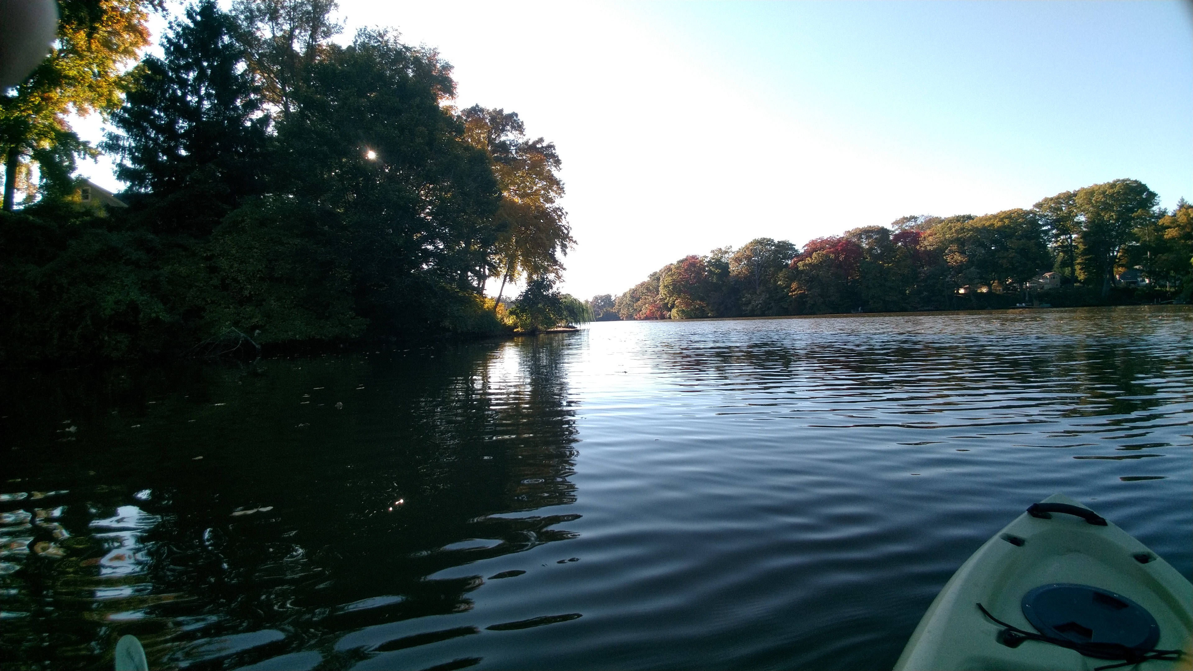
This small lake is about a mile long. The only public launch is at the west end in Stevenson Park, off West Front Street. There is a channel from there to the lake, but good luck finding it - be prepared to run aground. Fortunately, the bottom is firm sand, and a short tow on foot will get you out to deeper water. It is also possible to go a short ways up the creek.
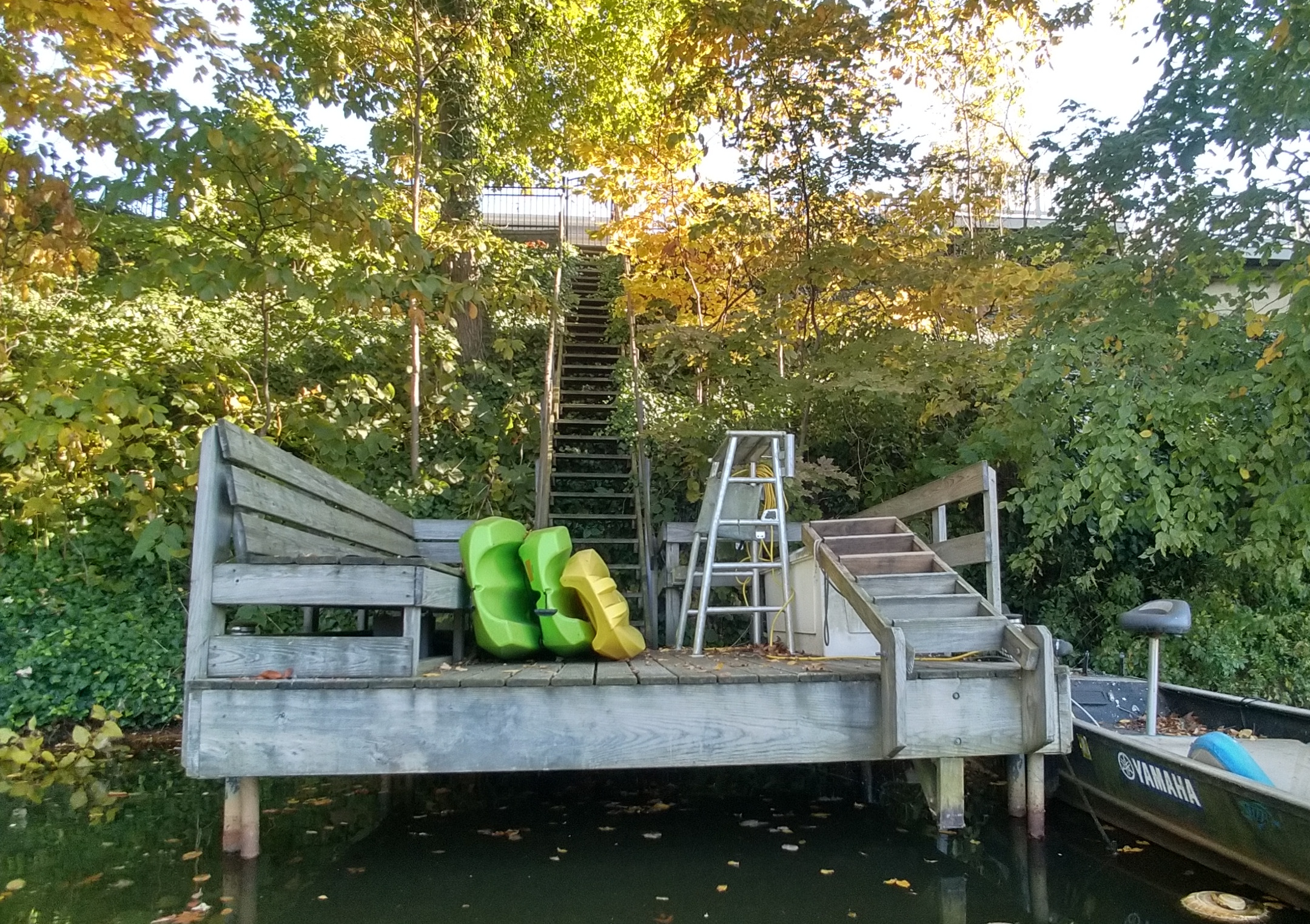
Shadow Lake is very picturesque. The lake is surrounded by high bluffs; most of the homes around the lake have stairs down to private docks. Shadow Lake Dam is an earthfill berm dam on Nut Swamp Brook in Monmouth County, New Jersey. Built in 1931, it has a length of 600 feet and is 16 feet high. Hubbard Road crosses over its crest.
Shadow Lake Dam is a dam on Nut Swamp Brook in Monmouth County, New Jersey. Built in 1931, it has a length of 600 feet and is 16 feet high. The dam impounds Shadow Lake, roughly 83 acres. It has a main overflow spillway, an earth-fill berm and an emergency spillway on the right. It has a discharge capacity of 1,912 cubic feet per second. Hubbard Road (County Route 12) crosses over its crest.
Questions or Inquiries?
Just want to say Hello? Sign the .