Bass & Perch
Freshwater Basses
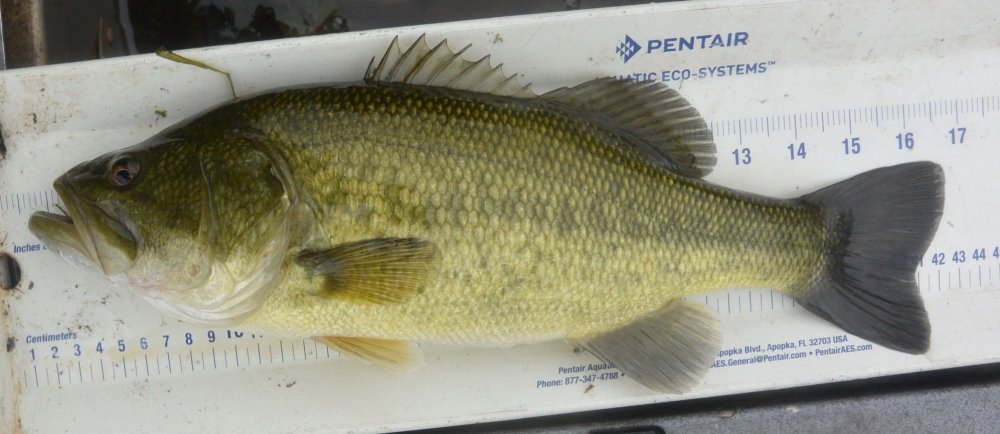
Note how the mouth of the Largemouth extends under the eye, while that of the Smallmouth stops short of it. A lot of fishermen seem to think everything they catch is a Largemouth.
-- Wikipedia
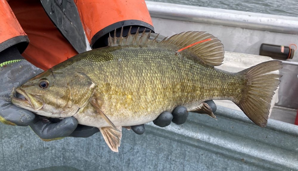
Bass are not suitable for the aquarium except in solitary confinement. They are extremely aggressive, and will kill any tank-mates.
-- Wikipedia
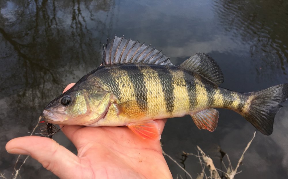
Yellow Perch
-- Wikipedia