Birds
These are some birds you are likely to see around the water.
Osprey
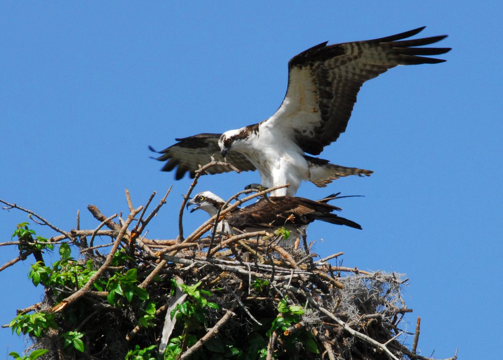
Ospreys, or "Fish Hawks", are surprisingly common, and can be found just about anywhere. You'll typically see them flying high over the water from a tree on one side to a tree on the other, occasionally diving down on some unlucky fish. Ospreys are usually seen alone, but mating pairs stay together, and I think young siblings stay together for a while as well. Ospreys are one of the biggest birds that you are likely to see. A single species has an almost worldwide distribution - pretty much everywhere except Australia.
More: Ospreys & Eagles ...
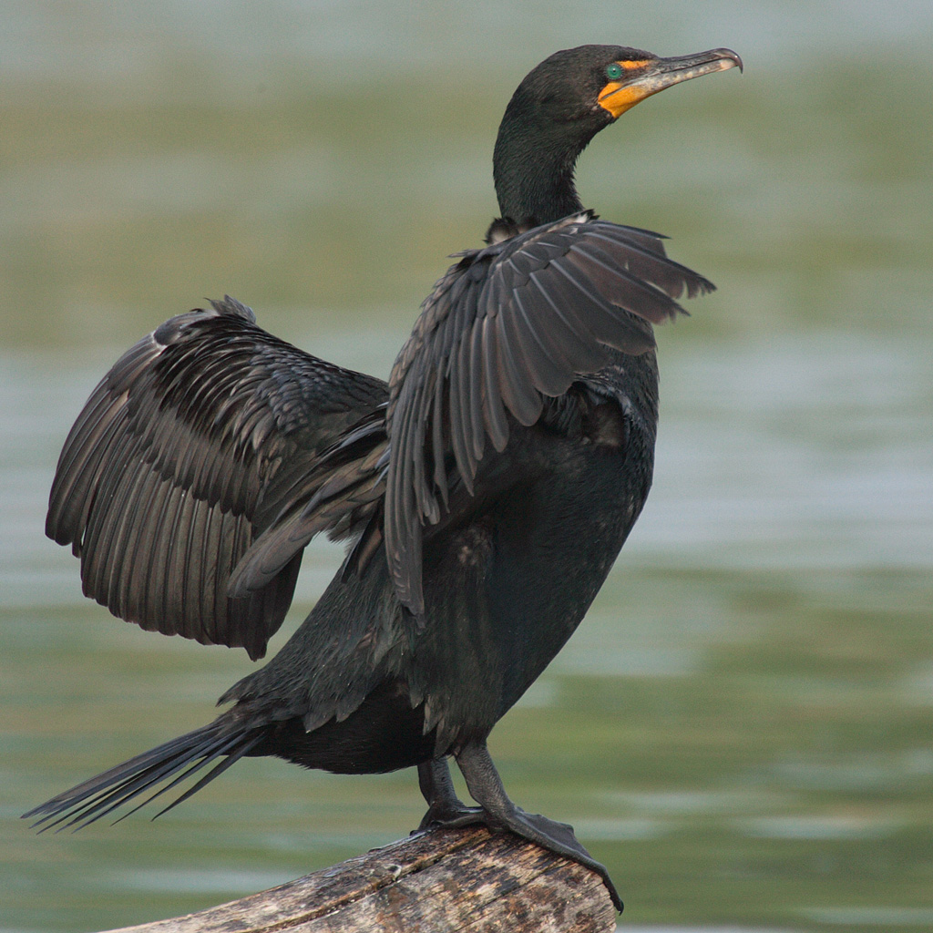
This is a bird that you are almost guaranteed to see on any kayaking excursion. This is because they are very common, and not very waterproof. After diving underwater, they need to dry their sodden feathers in the sun, as the one above is doing. You can often get pretty close to them at these times.
More: Double-Crested Cormorant ...
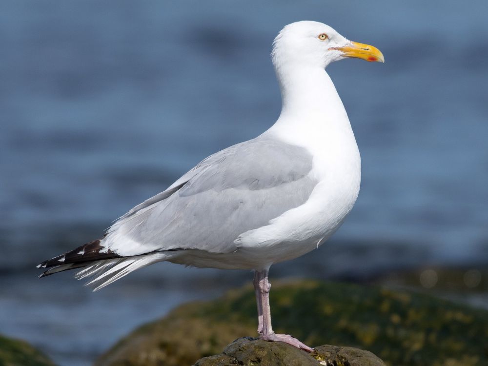
These birds are all associated with marine environments, but the truth is, they don't care. You'll find them wherever there is food. Since no place in New Jersey is really very far from the ocean, you can find most of these almost anywhere.
Herring Gull
More: Gulls, Terns, etc ...
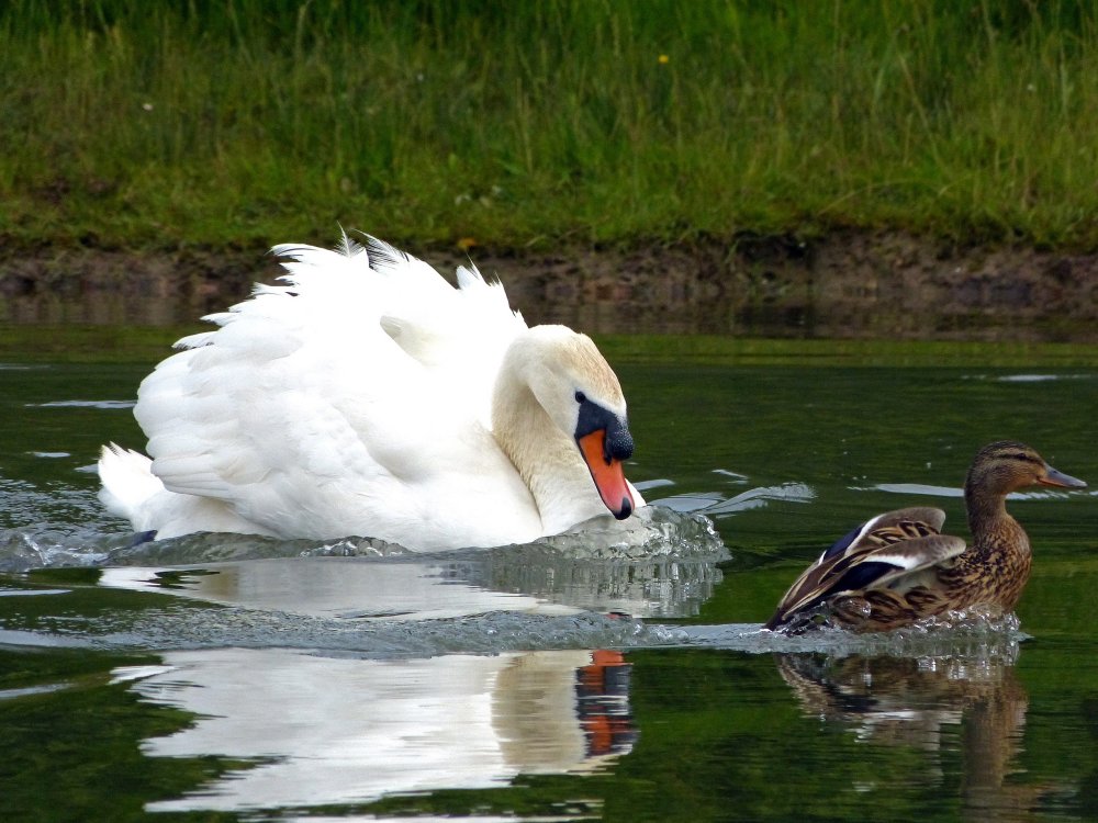
Mallard Duck
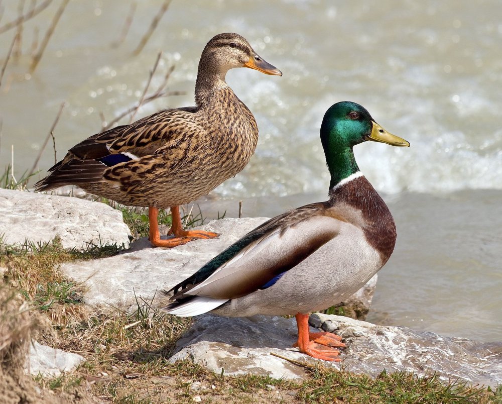
There are many kinds of wild ducks, and even more types of domesticated ducks, but the Mallard is a good representative of all. Ducks are harmless. Bring some bread along, I never met a duck that didn't expect to be fed.
More: Ducks, Geese, Swans ...
Kayaking is an outdoor activity. Yes, kids, you'll have to put down your game controllers and go outside. Out there is what us older folks call nature. Nature can actually be quite beautiful and interesting, and you don't have to worry about your screen resolution and refresh rate - both are infinity. So here is a short list of flora and fauna ( plants and animals ) that you might see in freshwater environments:
More: Wildlife ...