Mammals
These are some mammals you are likely to see in and around the water.
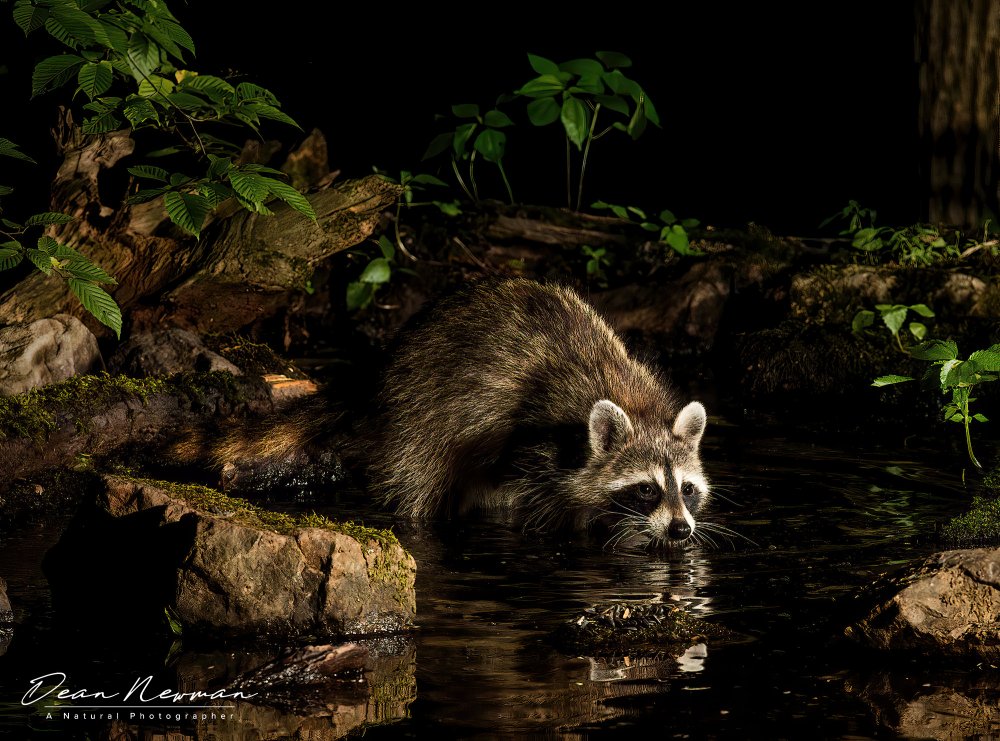
River Otter
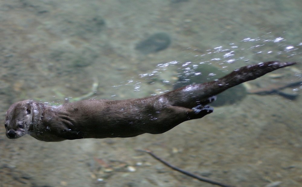
Otters are aquatic weasels. You may find them climbing around on banks, or splashing around in the water, especially around dusk.
More: Otter & Raccoon ...
Harbor Seal
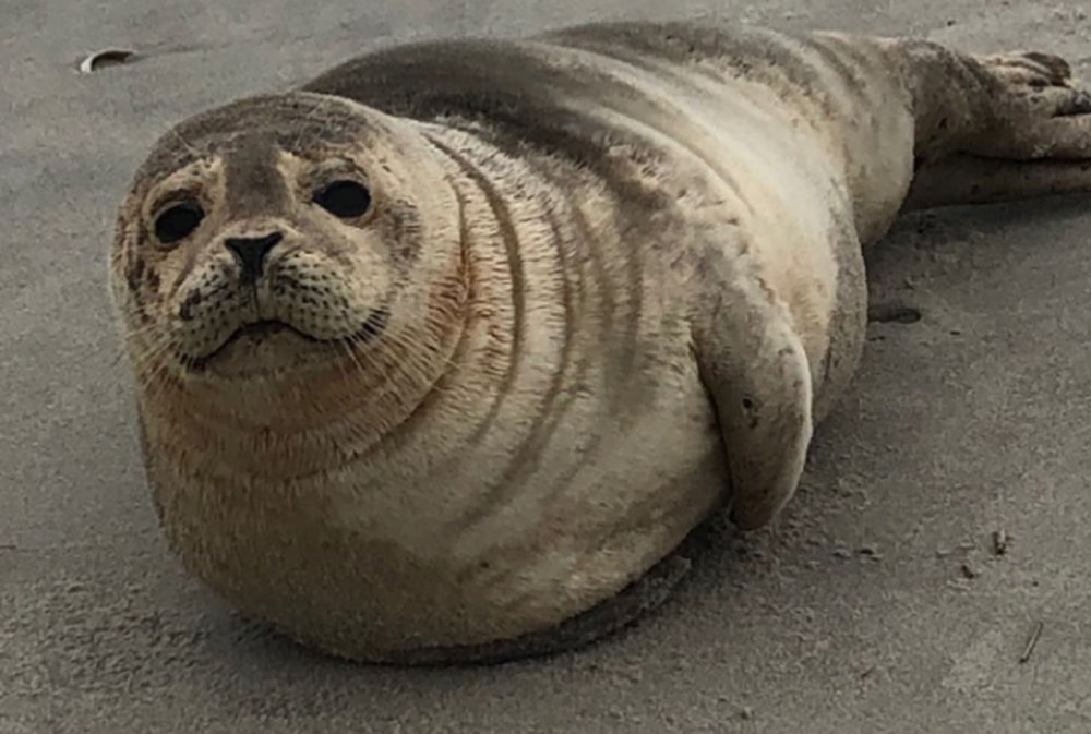
Harbor seals are not uncommon in the winter, but kayaking is, so don't expect to encounter them when you are out for a paddle.
More: Seals & Dolphins ...
Muskrat
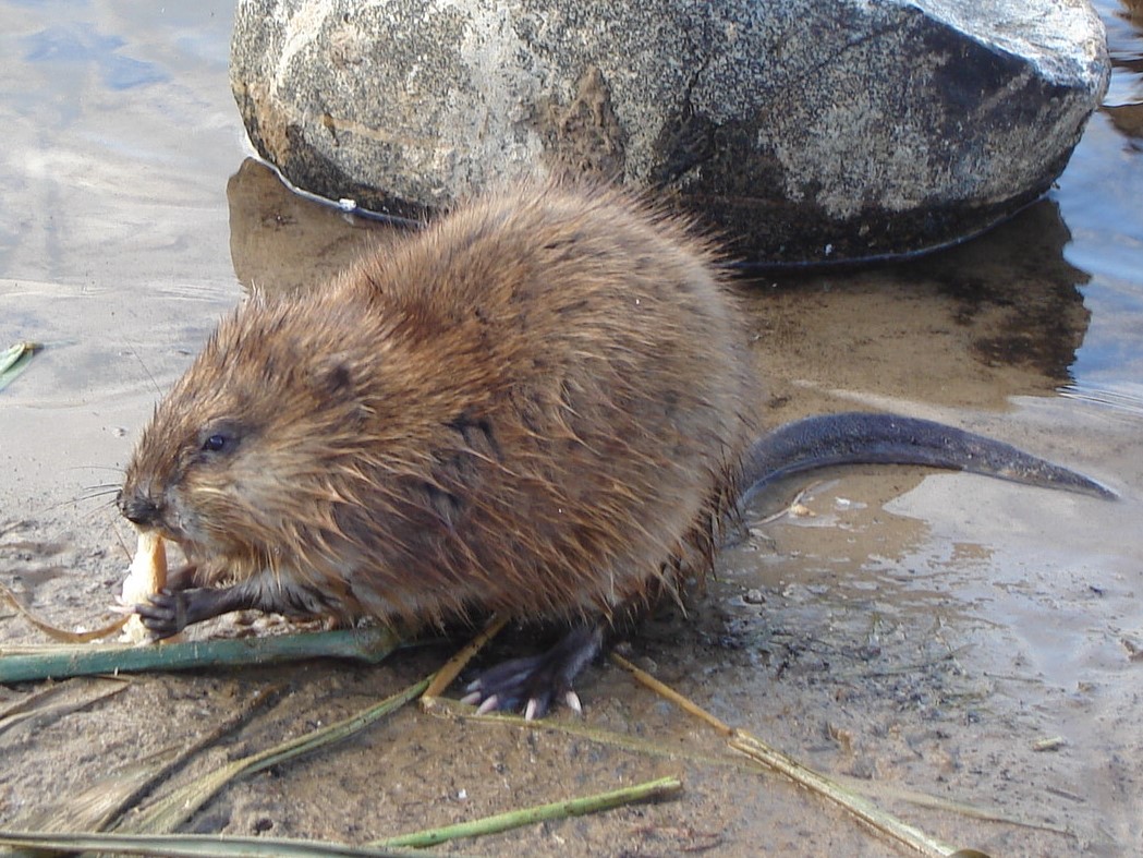
Muskrats are common across the state. While considerably bigger than plain old rats, they are nowhere near the size of beavers, which can get to 50 pounds. Muskrats have tails that are slightly flattened from side to side, unlike beavers which have broad flat tails. Both animals build conical houses in the water, but only beavers build dams.
-- Wikipedia
More: Muskrat & Beaver ...
Kayaking is an outdoor activity. Yes, kids, you'll have to put down your game controllers and go outside. Out there is what us older folks call nature. Nature can actually be quite beautiful and interesting, and you don't have to worry about your screen resolution and refresh rate - both are infinity. So here is a short list of flora and fauna ( plants and animals ) that you might see in freshwater environments:
More: Wildlife ...