Frogs
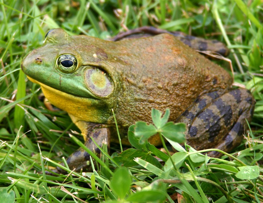
American Bullfrog
Frogs are seldom seen during the day, but easily discovered at night by their eye shine. In fact, it can be disturbing to see just how many of them there are around.
-- Wikipedia
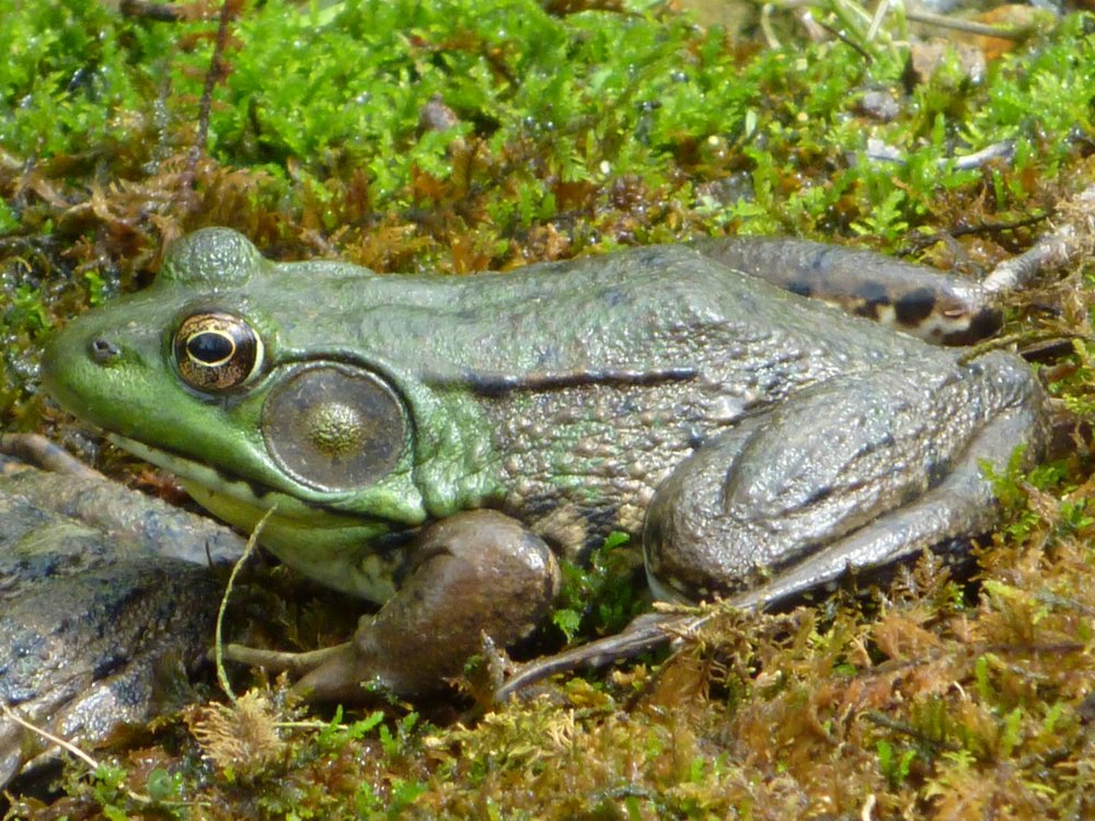
Green Frog
-- Wikipedia
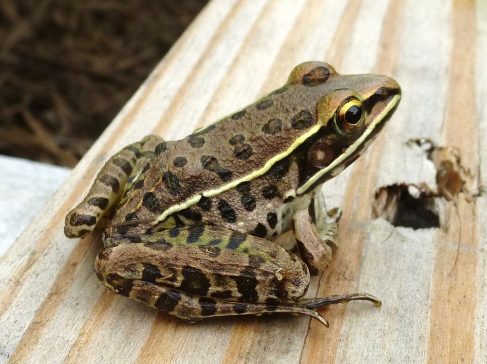
Leopard Frog
-- Wikipedia