Shark River - Neptune/Belmar
- Shark River - Belmar ( 40.17946, -74.03743 )
- Shark River - Marina ( 40.19101, -74.03886 )
- Shark River - Neptune ( 40.19364, -74.03092 )
- Shark River - Wall Township ( 40.19149, -74.05792 )
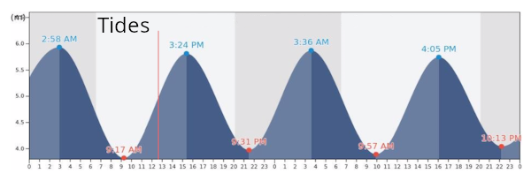
Shark River is not really a river, it is more of a saltwater lagoon with an outlet to the sea. The actual inlet would be a very bad place to go, with a lot of boat traffic and sometimes swift tidal current. The lagoon is much better, and I have marked two spots that are easy access and parking - both in public parks. Don't try to use the boat ramp, you might get in trouble.
- Shark River - Belmar ( 40.17946, -74.03743 )
The spot in the north is an easy launch off the beach. The spot in the south has a number of options, from the nearby beach to the stairs down the bulkhead. There are doubtless other spots where you could put in, but these two are the best. Once in, stay away from the marked boat channels. The rest of the 'bay' is too shallow for motorboats, and you'll have it to yourself, especially at low tide.
One reason to come here is fishing - the river and lagoon can be full of fluke, blues, stripers, and other fish. With a boat, you have access to everything that is beyond the reach of shore-bound fishermen.
- Shark River - Neptune ( 40.19364, -74.03092 )
The town (Belmar) clearly does not want you to use the nearby boat ramp, and has provided good alternatives in the park. Stay out of the marina as well, and the river itself would be a pretty stupid place to go.
Questions or Inquiries?
Just want to say Hello? Sign the .