Lake Carnegie - Princeton
- D-R Canal - Kingston (N) ( 40.37489, -74.61854 )
- D-R Canal - Kingston (S) ( 40.37326, -74.61861 )
- D-R Canal - Plainsboro (E) ( 40.34321, -74.62964 )
- D-R Canal - Plainsboro (W) ( 40.34190, -74.63758 )
- D-R Canal - Princeton (N) ( 40.33879, -74.64715 )
- D-R Canal - Princeton (S) ( 40.33224, -74.65186 )
- Lake Carnegie - Plainsboro ( 40.34362, -74.62973 )
- Lake Carnegie - Princeton ( 40.36681, -74.62597 )
- Millstone River - Kingston ( 40.37419, -74.61962 )
- Millstone River - Plainsboro (N) ( 40.34262, -74.62981 )
- Millstone River - Plainsboro (S) ( 40.33874, -74.62880 )
- Stony Brook - Princeton ( 40.33219, -74.65340 )
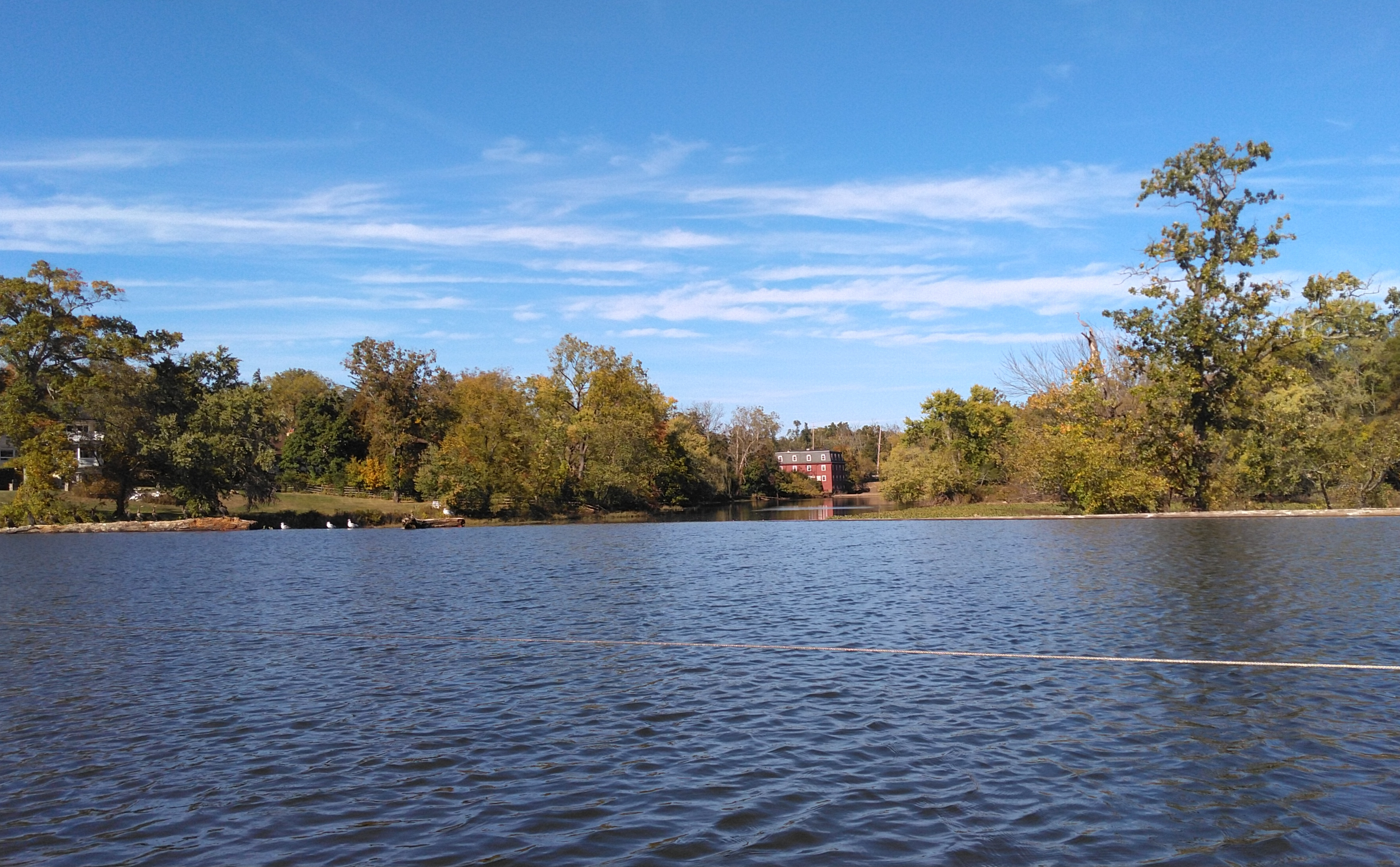
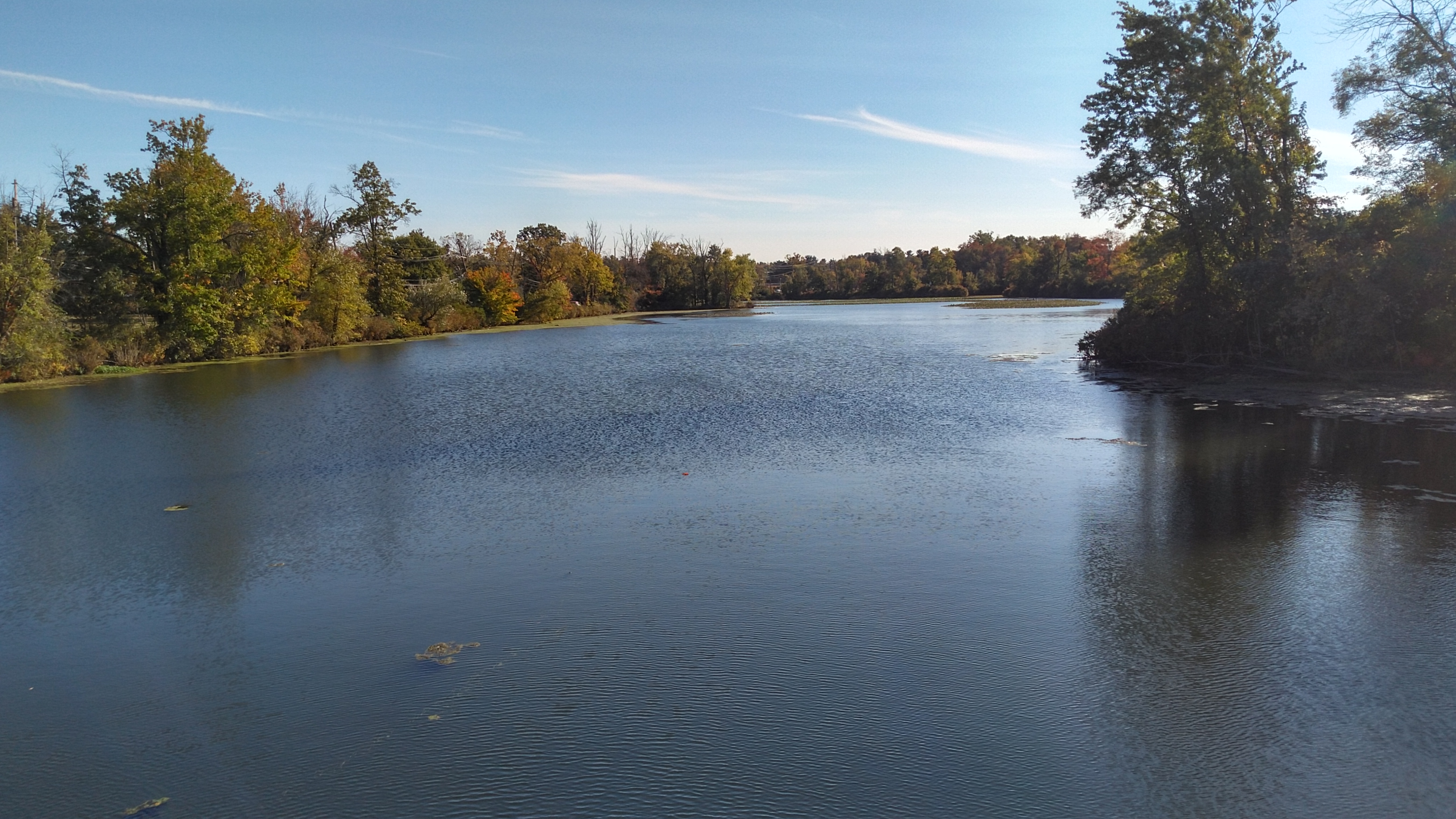
Lake Carnegie is a reservoir that straddles the borders of the towns of Princeton, West Windsor, Plainsboro and South Brunswick in Mercer and Middlesex counties in central New Jersey. The lake was created by construction of a dam along the Millstone River, though the lower portion of the lake actually follows the valley of its largest tributary, the Stony Brook, while the Millstone River crossed under the D&R Canal to the south. The lake is about three miles long, but only about 800 feet wide.
Noted businessman and philanthropist ( and robber baron ) Andrew Carnegie donated money for the construction of the lake, which was donated to Princeton University. Carnegie attended the official opening ceremony on December 5, 1906. In 1990, the Lake Carnegie Historic District was listed on the National Register of Historic Places. Lake Carnegie, which is privately owned, is used by Princeton University's rowing team. Needless to say, stay out of their way! (The Olympic team uses Lake Mercer.)
- D-R Canal - Kingston (N) ( 40.37489, -74.61854 )
- D-R Canal - Kingston (S) ( 40.37326, -74.61861 )
- D-R Canal - Rocky Hill ( 40.39826, -74.62702 )
- Lake Carnegie - Princeton ( 40.36681, -74.62597 )
- Millstone River - Kingston ( 40.37419, -74.61962 )
Fish species include largemouth bass, carp, pickerel, crappie, channel catfish and occasionally a few rainbow and brown trout that make their way into Carnegie Lake from Stony Brook.
Years of pollution have led to a dangerous decrease in the lake's safety levels. The sources of this non-point source pollution are varied - litter, chemicals (fertilizers and pesticides), automotive waste (oil and gas), and goose droppings have all contributed to the decline in water quality. Unsafe levels of mercury in the lake have led to an advisory on fish consumption. Efforts to improve the water quality of Carnegie Lake are ongoing.
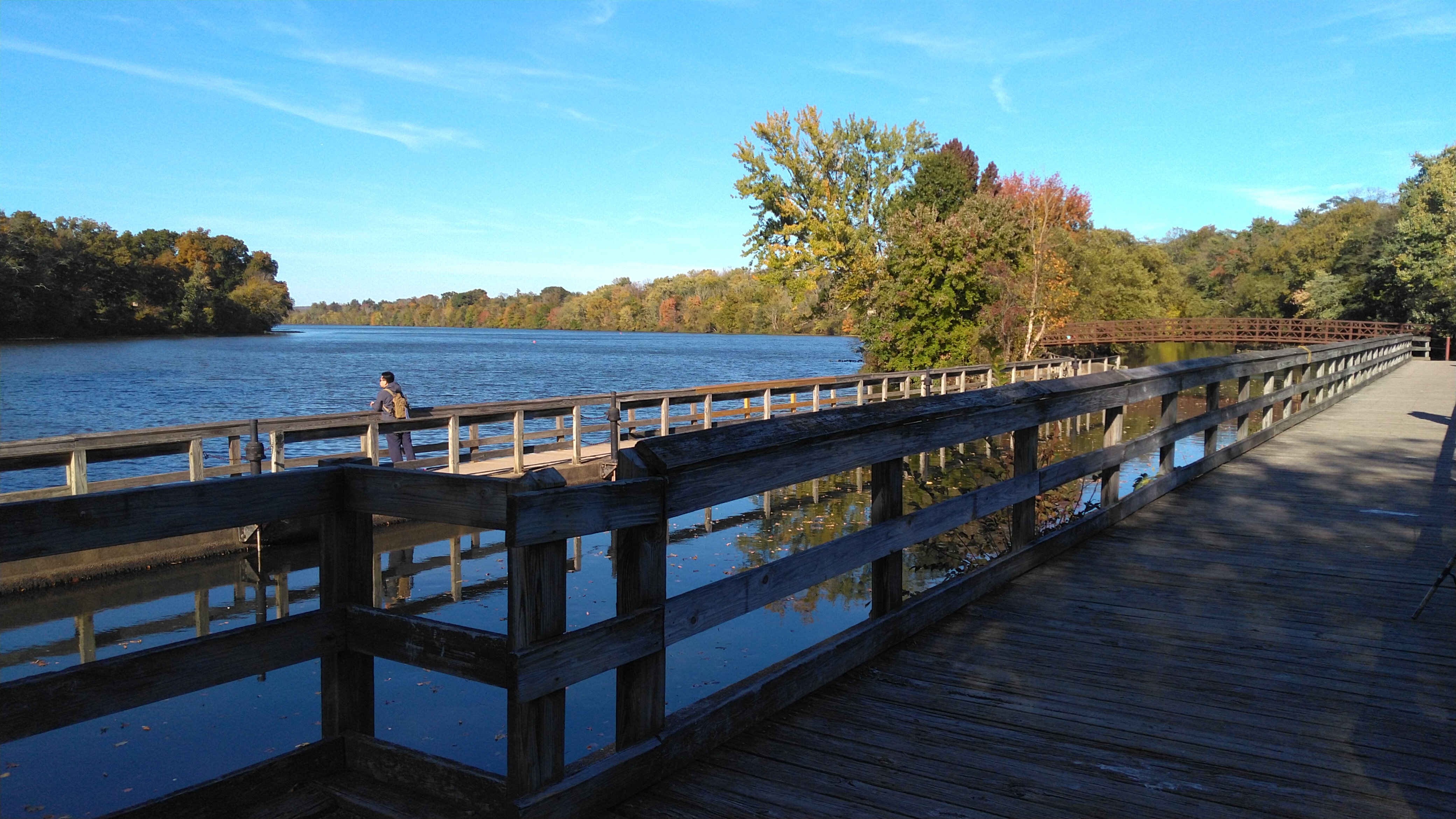
The Delaware and Raritan Canal and its associated tow path are situated along the eastern shore of the lake, just minutes away. The canal is about 2 feet higher than the lake. The closest access points are also marked on the map. Lake Carnegie drains north into the Millstone River.
- D-R Canal - Plainsboro (E) ( 40.34321, -74.62964 )
- D-R Canal - Plainsboro (W) ( 40.34190, -74.63758 )
- D-R Canal - Princeton (N) ( 40.33879, -74.64715 )
- Lake Carnegie - Plainsboro ( 40.34362, -74.62973 )
- Millstone River - Plainsboro (N) ( 40.34262, -74.62981 )
- Millstone River - Plainsboro (S) ( 40.33874, -74.62880 )

Questions or Inquiries?
Just want to say Hello? Sign the .