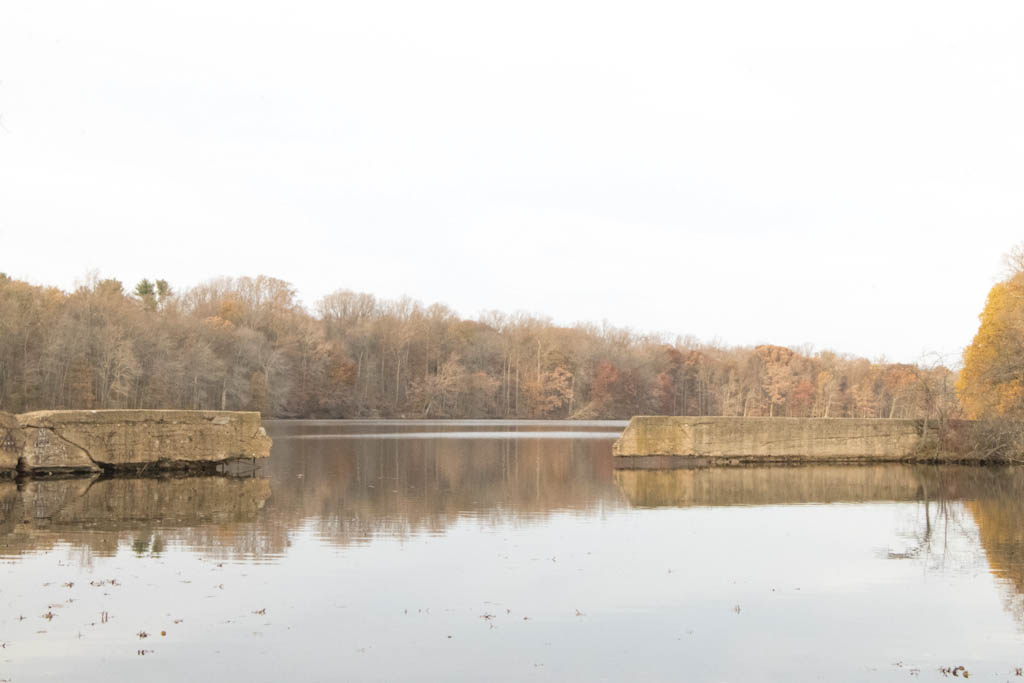
Farrington Lake – North Brunswick
- Davidson's Mill Pond - East Brunswick ( 40.41117, -74.49789 )
- Farrington Lake - East Brunswick (C) ( 40.42465, -74.47680 )
- Farrington Lake - East Brunswick (N) ( 40.43900, -74.46646 )
- Farrington Lake - East Brunswick (S) ( 40.42201, -74.48242 )
- Lawrence Brook - Milltown (E) ( 40.45144, -74.43663 )
- Lawrence Brook - Milltown (W) ( 40.44831, -74.44367 )
- Weston's Mill Pond - East Brunswick ( 40.46677, -74.42603 )
This is the biggest of the lakes and ponds created by damming the Lawrence Brook. The map is centered on the northernmost launch site, which is the most central on the lake. There are two more access points to the south, which can be useful if you want to explore up the Lawrence Brook.
This lake is long and narrow – a good long paddle in either direction; I’ve never done both ends in one day. None of the bridges are low or difficult, in fact I have used Hardenburg Lane to get out of the rain. The northern branch of the lake has some odd impoundments along the south shore, one of which is nearly rectangular and walled. I can’t figure out what that is, if anyone knows, please share. The dam is pretty big, and I wouldn’t get too close.

The brook goes up to the dam that forms Davidson’s Millpond, which is accessible, but quite small. Beyond there the brook peters-out pretty quickly, and Dean’s Pond is now dried-up. On the downstream side, Lawrence Brook flows through Mill Pond to Weston’s Mill Pond. That lake has otters, so there are probably otters in this lake as well, but I’ve never seen any. There may also be beaver in Farrington Lake.
The lake is named after Edward Farrington, mayor of New Brunswick, New Jersey, in 1915–1918, who envisioned the construction of the dam to supply water to his city. Mayor Farrington died while in office, in 1918. The lake covers about 290 acres and has a mean depth of 6.6 feet with a maximum depth of 13 feet.
Questions or Inquiries?
Just want to say Hello? Sign the .