Turtles
Eastern Painted Turtle
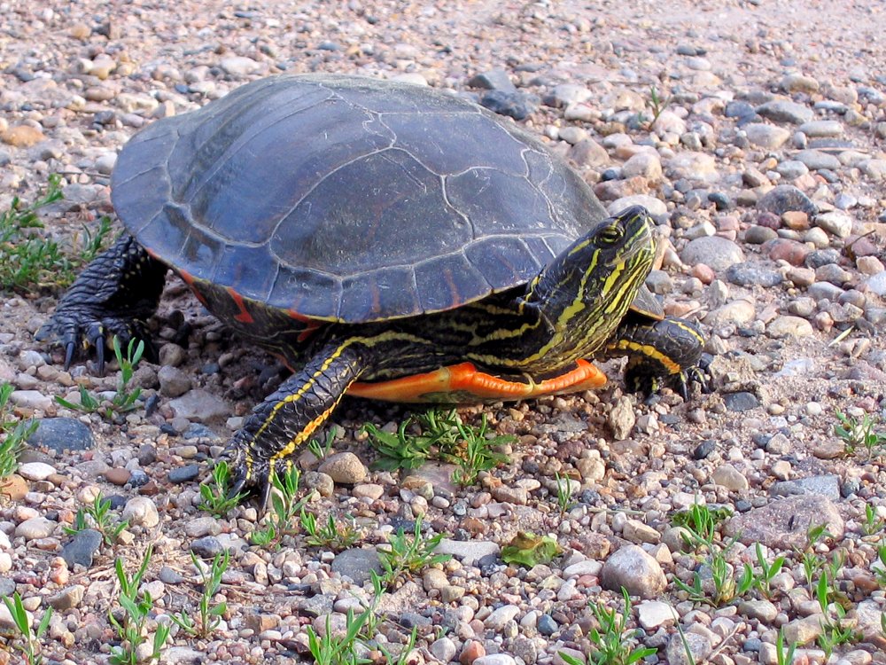
You'll find these medium-sized turtles in any body of water. You will often find them sunning themselves on any convenient perch, watching you. Get too close, and they drop into the water. Rarely, you may encounter a released pet that is tame.
-- Wikipedia
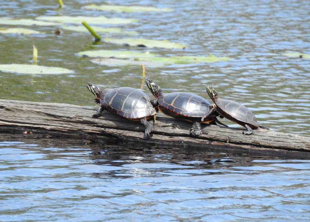
Pond Slider
This is a non-native turtle that is also frequently found. The pet trade has spread them far outside their native range in the mid-west.
-- Wikipedia
Snapping Turtle

Usually, this is about as much of a Snapping Turtle as you'll get to see - coming up for a breath of air. While they do have a very strong and potentially damaging bite, and can be aggressive at times, a kayaker would have to do something incredibly stupid to have a problem.
Since they spend most of their time lying on the bottom in murky water, a kayak is not the best way to see one of these. They are better observed from a bridge or a dock.
-- Wikipedia
Stinkpot Turtle
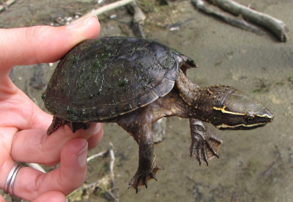
Another common little water turtle. These will also snap at you, notice the careful way this one is being held.
-- Wikipedia
Spiny Softshell Turtle
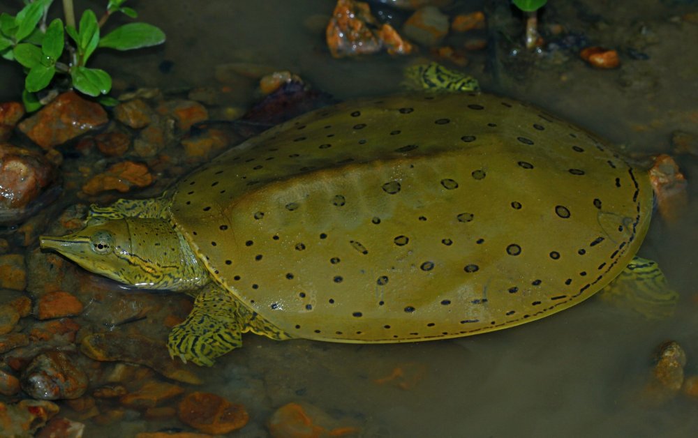
This is an introduced type that can be found as far north as the Raritan River watershed. If you do run across one of these, leave it alone, they defend themselves aggressively and have a strong bite.
-- Wikipedia