Bugs
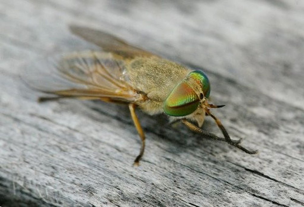
This is a listing of some of the tiny critters that you might find. I'm not including all the invisible biting nasties that you find around the water. That's what bug spray is for. Above is the horrible Greenhead fly - the bane of New Jersey summers. When one of these bites you, you know it.
Whirligig Beetle
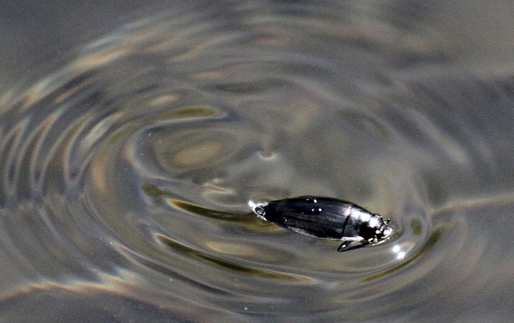
Whirligig Beetles are typically found in groups making crazy circles at the surface, although they are also capable of diving and flying. These are 'true beetles', not bugs. They are harmless scavengers.
More: Water Bugs ...
Orbweavers
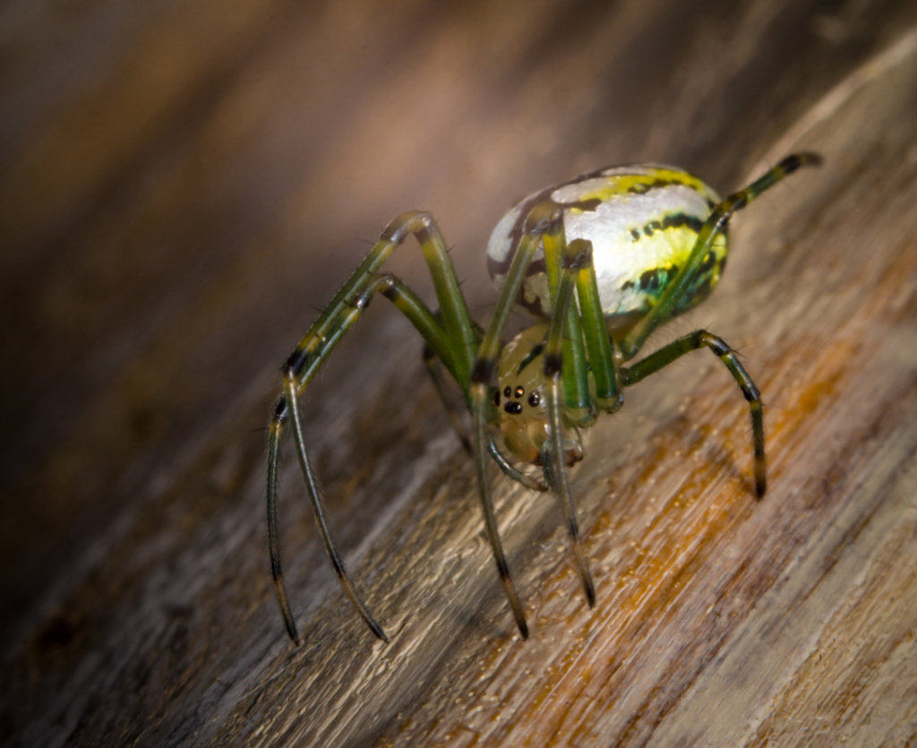
If you are trying to escape the sun in the shade of overhanging tree branches, you are inevitably going to get spiders in the boat. These are almost entirely harmless orbweavers - they are not aggressive and don't bite, and are not poisonous to humans, at least no more poisonous than a honey bee. That said, our brains are programmed at the most basic level to fear spiders, and I don't like them any more than anyone else. Just calmly knock it out of the boat.
More: Spiders ...
Dragonflies
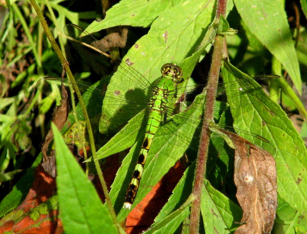
Dragonflies are aerial predators with a strong liking for water, so you are very likely to get 'buzzed' while out kayaking. They are harmless to humans. Dragonfly larvae are fully aquatic little nightmares. There are many kinds of dragonflies in the region, too many to list.
More: Dragonflies etc ...
Kayaking is an outdoor activity. Yes, kids, you'll have to put down your game controllers and go outside. Out there is what us older folks call nature. Nature can actually be quite beautiful and interesting, and you don't have to worry about your screen resolution and refresh rate - both are infinity. So here is a short list of flora and fauna ( plants and animals ) that you might see in freshwater environments:
More: Wildlife ...