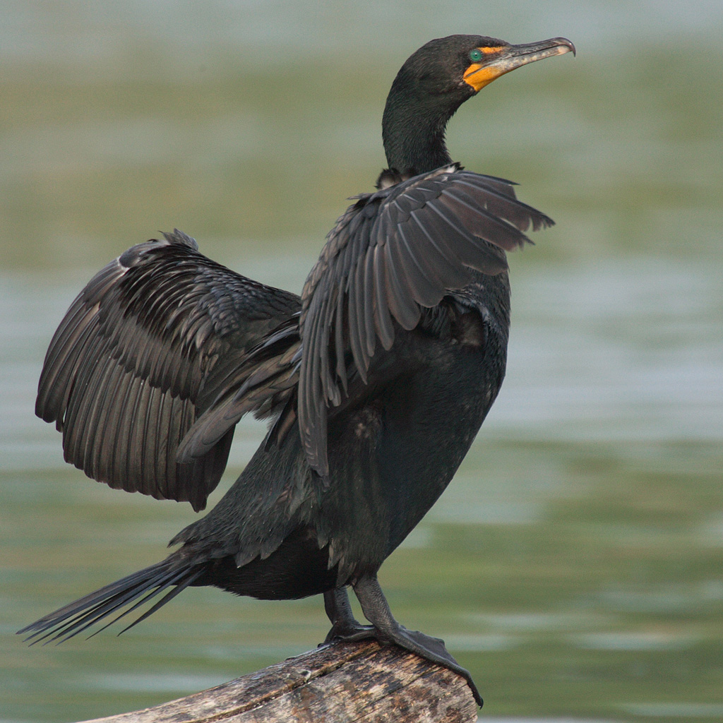
Assunpink Lake – Upper Freehold
- Assunpink Access ( 40.23568, -74.58683 )
- Assunpink Lake - Upper Freehold ( 40.21542, -74.51702 )
- Brainerd Lake - Cranbury ( 40.31113, -74.51178 )
- Crosswick's Creek - Walnford ( 40.13480, -74.55762 )
- Etra Lake ( 40.25288, -74.49829 )
- Mercer Lake - Hamilton ( 40.26561, -74.64191 )
- Mercer Lake - West Windsor ( 40.26960, -74.64114 )
- Mill Pond - Princeton Meadows (E) ( 40.32460, -74.56567 )
- Millstone River - Cranbury (E) ( 40.29359, -74.52675 )
- Millstone River - Cranbury (W) ( 40.29590, -74.56250 )
- Miry Run ( 40.24052, -74.64696 )
- Peddie Lake - Hightstown ( 40.26870, -74.52219 )
- Perrineville Lake ( 40.22667, -74.43784 )
- Prospertown Lake - Jackson ( 40.13497, -74.45779 )
- Rising Sun Lake - Upper Freehold ( 40.20699, -74.46339 )
- Rocky Brook - Hightstown ( 40.27108, -74.52353 )
- Stone Tavern Lake - Upper Freehold ( 40.19587, -74.48596 )
About a mile long, in the Assunpink WMA. To the east you can find two other small lakes in the same watershed: Stone Tavern Lake, and Rising Sun Lake. Assunpink Creek drains into Lake Mercer, which is much larger than any of these.
Assunpink Lake is not a park, it is a “Wildlife Management Area”, and falls under a completely different set of regulations, which you can find here:
- https://dep.nj.gov/njfw/wildlife/wildlife-management-area-regulations
From the state website:
Any vehicle used to transport or launch a vessel or water conveyance on the following WMAs must have affixed to the lower corner of the driver’s side rear window a Boat Ramp Maintenance Permit or a photocopy of a current hunting, fishing or trapping license showing the Conservation ID Number (CID#). Identifying information other than the CID# may be blacked out to protect your identity. Boat Ramp Maintenance Permits may be purchased for a fee of $15.00 from any license agent or Fish and Wildlife’s license Web site (under “Wildlife Management Area Use Permits” after logging in and selecting to make a purchase).

Questions or Inquiries?
Just want to say Hello? Sign the .