Belted Kingfisher
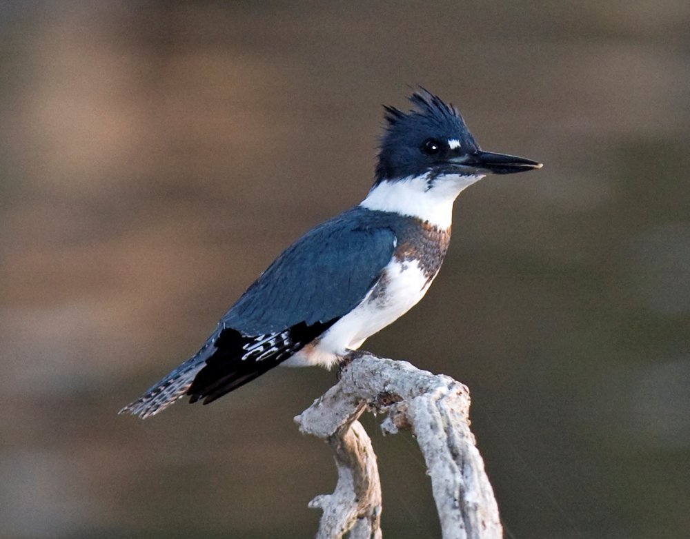
This is one of my favorite birds to see when I am out paddling. You're not going to get very close though, a good reason to bring along the binoculars. The Kingfisher is a songbird that thinks it's a hawk. They are actually related to Hummingbirds. You might think that makes them not very aquatic, but I have seen them dive into the water, surface, and take off again, so I guess they put some effort into evolving. ( The Cormorant might want to take notes. ) Kingfishers usually sit in branches near the shoreline, and fly very low and fast over the water.
The belted kingfisher is a stocky, medium-sized bird that measures between 11"–14" in length with a wingspan of between 19"–23". This kingfisher can weigh from 4 to 6.3 oz. The adult female averages slightly larger than the adult male.
This species has a large head with a shaggy crest. Its long, heavy bill is black with a grey base. These features are common in many kingfisher species. This kingfisher shows reverse sexual dimorphism, with the female more brightly colored than the male. Both sexes have a slate blue head, large white collar, a large blue band on the breast, and white underparts. The back and wings are slate blue with black feather tips with little white dots.
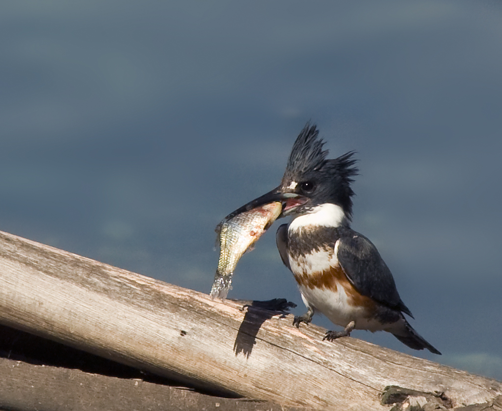
The female features a rufous band across the upper belly that extends down the flanks. Juveniles of this species are similar to adults, but both sexes feature the rufous band on the upper belly. Juvenile males will have a rufous band that is somewhat mottled while the band on females will be much thinner than that on adult females.
In Australia, Kingfishers are known as Kookaburras. Kookaburras are drab, but make up for it with personality.
-- Wikipedia