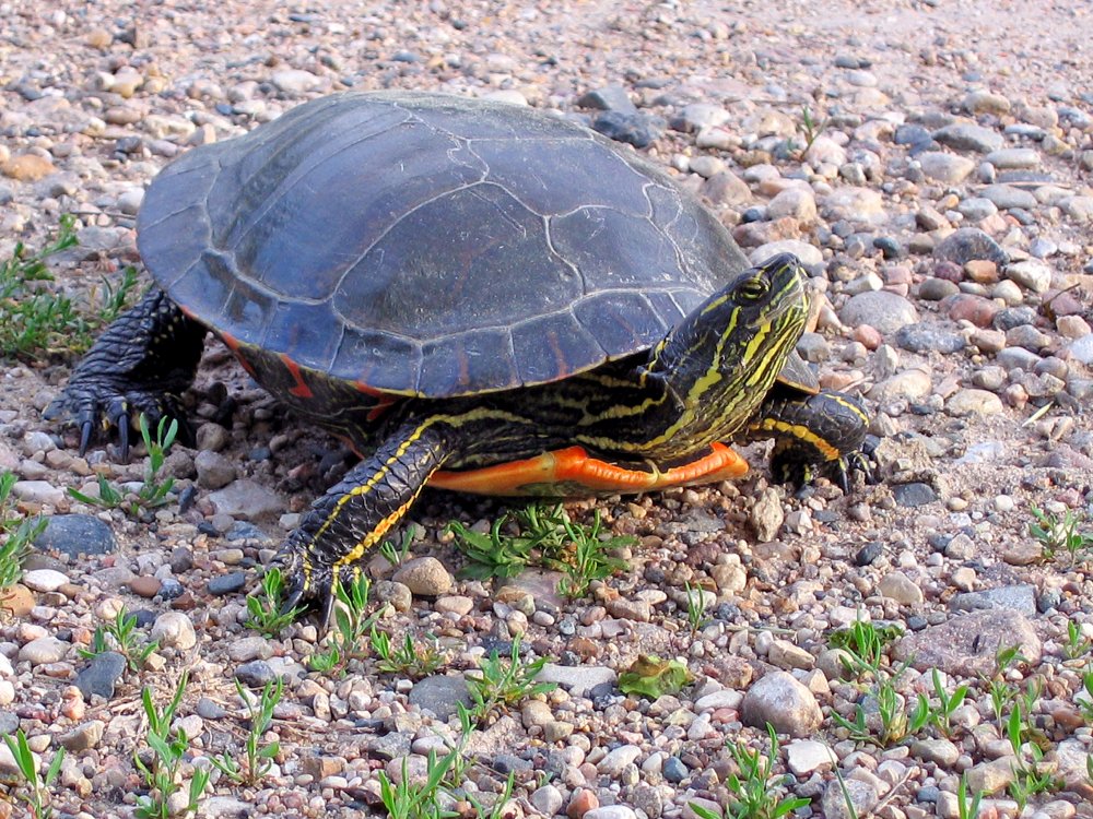
Turkey Swamp Park
- Turkey Swamp Park - Freehold ( 40.19577, -74.30435 )
This is a rather small lake with a long shoreline and even a couple of islands. Would probably make an interesting afternoon.
- Aeromarine Industrial Park ( 40.44306, -74.18967 )
- Arthur Kill - Buckingham Ave ( 40.51462, -74.25871 )
- Assunpink Access ( 40.23568, -74.58683 )
- Assunpink Lake - Upper Freehold ( 40.21542, -74.51702 )
- Barnegat Bay - Bay Harbor Park ( 40.01977, -74.12731 )
- Barnegat Bay - Mantoloking Bridge ( 40.04124, -74.05880 )
- Brainerd Lake - Cranbury ( 40.31113, -74.51178 )
- Buck's Pond - Colt's Neck ( 40.29178, -74.20380 )
- Bunker Hill Bogs - Jackson ( 40.08255, -74.29256 )
- Collier's Lake - New Egypt ( 40.06799, -74.44856 )
- Crosswick's Creek - New Egypt (N) ( 40.08505, -74.54006 )
- Crosswick's Creek - Walnford ( 40.13480, -74.55762 )
- Dallenbach Pond ( 40.41254, -74.44296 )
- Davidson's Mill Pond - East Brunswick ( 40.41117, -74.49789 )
- Deal Lake - Asbury Park (N) ( 40.23759, -74.00784 )
- Deal Lake - Asbury Park (S) ( 40.22957, -74.00938 )
- Etra Lake - East Windsor ( 40.25288, -74.49829 )
- Farrington Lake - East Brunswick (C) ( 40.42465, -74.47680 )
- Farrington Lake - East Brunswick (N) ( 40.43900, -74.46646 )
- Farrington Lake - East Brunswick (S) ( 40.42201, -74.48242 )
- Forge Pond - Brick ( 40.06646, -74.13446 )
- Grover's Mill Pond - Princeton Junction ( 40.31282, -74.60565 )
- Helmetta Pond ( 40.37817, -74.42657 )
- Horicon Lake - Lakehurst ( 40.00720, -74.32177 )
- Lake Carasaljo - Lakewood ( 40.09304, -74.22817 )
- Lake Lefferts - Matawan ( 40.41563, -74.23362 )
- Lake Manalapan - Jamesburg ( 40.34525, -74.43662 )
- Lake Riviera - Brick ( 40.04590, -74.14573 )
- Lake Shenandoah - Lakewood ( 40.08845, -74.19941 )
- Lake Success - Jackson ( 40.05785, -74.39243 )
- Lake Topanemus - Freehold ( 40.27635, -74.28554 )
- Lake Weamaconk - Englishtown ( 40.29140, -74.35704 )
- Lawrence Brook - Milltown (E) ( 40.45144, -74.43663 )
- Lawrence Brook - Milltown (W) ( 40.44831, -74.44367 )
- Manasquan Reservoir - Howell ( 40.17217, -74.20300 )
- Manasquan River - Allaire ( 40.14376, -74.11673 )
- Manasquan River - Beverly Beach ( 40.10498, -74.09649 )
- Manasquan River - Brice Park ( 40.13764, -74.11038 )
- Manasquan River - Dog Beach ( 40.10623, -74.03785 )
- Manasquan River - Glimmer Glass ( 40.11653, -74.04946 )
- Manasquan River - Howell ( 40.17519, -74.16981 )
- Manasquan River - Ramshorn Drive ( 40.11961, -74.09418 )
- Manasquan River - Riverfront Park ( 40.08835, -74.07142 )
- Manasquan River - RR Bridge ( 40.10052, -74.04905 )
- Manasquan River - WMA ( 40.13689, -74.10431 )
- Marlu Lake - Lincroft ( 40.33463, -74.15354 )
- Metedeconk River - Bay Ave ( 40.06602, -74.05130 )
- Metedeconk River - Bay Blvd ( 40.06288, -74.05502 )
- Metedeconk River - Bennett's Pond ( 40.13058, -74.28406 )
- Metedeconk River - Brick ( 40.05687, -74.11203 )
- Metedeconk River - Dock Rd ( 40.05055, -74.11413 )
- Metedeconk River - Sandy Point ( 40.05129, -74.07785 )
- Mill Pond - Princeton Meadows (E) ( 40.32460, -74.56567 )
- Mill Pond - Princeton Meadows (W) ( 40.32735, -74.60233 )
- Millhurst Pond - Freehold ( 40.24590, -74.34066 )
- Millstone River - Cranbury (E) ( 40.29359, -74.52675 )
- Millstone River - Cranbury (W) ( 40.29590, -74.56250 )
- Navesink River - Claypit Creek ( 40.39367, -74.02062 )
- Navesink River - Fair Haven ( 40.36647, -74.04204 )
- Navesink River - Red Bank ( 40.35212, -74.06980 )
- Navesink River - Rumson (E) ( 40.37649, -73.99990 )
- Navesink River - Rumson (W) ( 40.37650, -74.01310 )
- Peddie Lake - Hightstown ( 40.26870, -74.52219 )
- Perrineville Lake ( 40.22667, -74.43784 )
- Pine Lake ( 40.00910, -74.24948 )
- Prospertown Lake - Jackson ( 40.13497, -74.45779 )
- Raritan Bay - Atlantic Highlands ( 40.41858, -74.04652 )
- Raritan Bay - Cliffwood (E) ( 40.45089, -74.22033 )
- Raritan Bay - Cliffwood (W) ( 40.45216, -74.22269 )
- Raritan Bay - Cliffwood (Whale Creek) ( 40.45090, -74.22274 )
- Raritan Bay - Highlands (E) ( 40.40340, -73.98494 )
- Raritan Bay - Highlands (W) ( 40.41023, -74.00359 )
- Raritan Bay - Keyport (E) ( 40.44095, -74.19534 )
- Raritan Bay - Keyport (W) ( 40.43921, -74.20160 )
- Raritan Bay - Laurence Harbor (E) ( 40.45877, -74.24622 )
- Raritan Bay - Laurence Harbor (W) ( 40.46223, -74.25482 )
- Raritan Bay - Leonardo ( 40.42375, -74.06122 )
- Raritan Bay - Middletown ( 40.44463, -74.11175 )
- Raritan Bay - Port Monmouth ( 40.43800, -74.08955 )
- Raritan Bay - Sandy Hook ( 40.41555, -73.98161 )
- Raritan Bay - South Amboy (N) ( 40.48343, -74.27059 )
- Raritan Bay - South Amboy (S) ( 40.47946, -74.26831 )
- Raritan Bay - South Amboy Ramp ( 40.48401, -74.27416 )
- Raritan Bay - Union Beach (E) ( 40.44787, -74.16598 )
- Raritan Bay - Union Beach (W) ( 40.45479, -74.17517 )
- Raritan River - Edison ( 40.48791, -74.38382 )
- Raritan River - Highland Park ( 40.48864, -74.42226 )
- Raritan River - New Brunswick ( 40.48760, -74.43280 )
- Raritan River - Perth Amboy ( 40.50057, -74.27712 )
- Raritan River - Sayreville ( 40.47450, -74.35606 )
- Rising Sun Lake - Upper Freehold ( 40.20699, -74.46339 )
- Rocky Brook - Hightstown ( 40.27108, -74.52353 )
- Shadow Lake - Middletown ( 40.34698, -74.10476 )
- Shark River - Belmar ( 40.17946, -74.03743 )
- Shark River - Marina ( 40.19101, -74.03886 )
- Shark River - Neptune ( 40.19364, -74.03092 )
- Shark River - Wall Township ( 40.19149, -74.05792 )
- Shrewsbury River - Blackberry Park ( 40.32556, -74.00672 )
- Shrewsbury River - Branchport ( 40.31165, -74.00316 )
- Shrewsbury River - Fort Monmouth ( 40.32337, -74.03355 )
- Shrewsbury River - Galilee ( 40.34273, -73.97625 )
- Shrewsbury River - Long Branch ( 40.32594, -73.99006 )
- Shrewsbury River - Monmouth Beach ( 40.32805, -73.98631 )
- Shrewsbury River - North Rd ( 40.33662, -73.98315 )
- Shrewsbury River - Oceanport Creek ( 40.31460, -74.02877 )
- Shrewsbury River - Rumson ( 40.35672, -73.98569 )
- Shrewsbury River - Sea Bright (E) ( 40.36542, -73.97673 )
- Shrewsbury River - Sea Bright (W) ( 40.36263, -73.98172 )
- Shrewsbury River - Seawaneka Ave ( 40.33023, -74.00426 )
- Shrewsbury River - Somers Scout Park ( 40.33016, -74.00132 )
- South River - Grekoski Park ( 40.43898, -74.36086 )
- South River - Old Bridge ( 40.41228, -74.36362 )
- South River - Sayreville ( 40.45397, -74.37222 )
- South River - South River ( 40.45838, -74.38361 )
- Stockton Lake - Manasquan ( 40.11739, -74.03460 )
- Stone Tavern Lake - Upper Freehold ( 40.19587, -74.48596 )
- Superfund Site ( 40.45776, -74.24129 )
- Swimming River - Middletown ( 40.34831, -74.08318 )
- Swimming River - Red Bank ( 40.33838, -74.08815 )
- Toms River - Pine Lake Park ( 40.00353, -74.24106 )
- Turkey Swamp Park - Freehold ( 40.19577, -74.30435 )
- Turn Mill Pond - New Egypt ( 40.06371, -74.44772 )
- Twilight Lake - Bay Head ( 40.07474, -74.04404 )
- Wagner's Marina - Matawan Creek ( 40.43540, -74.21416 )
- Weston's Mill Pond - East Brunswick ( 40.46677, -74.42603 )
- Wreck Pond - Sea Girt ( 40.13880, -74.02726 )
- Wreck Pond - Spring Lake ( 40.14107, -74.04003 )
More: Monmouth County ...
Questions or Inquiries?
Just want to say Hello? Sign the .