Waterways
Here is a map you can use to see just water features. The level of detail increases as you zoom in. The boundary lines have been deleted, as they often follow and obscure water features. It is interesting to trace the rivers to their headwaters.
In the north, the state's two largest river systems are the Passaic and the Raritan, which intertwine. In the south, the Mullica forms a sizable river system. Only one river originates in New Jersey and leaves the state - the Walkill in the north. All others are captured by either the Delaware or the Hudson, or the extensive southern bays. The orange line is approximately the dividing line between east (Hudson/Atlantic) and west (Delaware River) drainages. The red line is the "fall line" - the boundary between the Piedmont uplands and Atlantic coastal plain. And that's your lesson in hydrology.
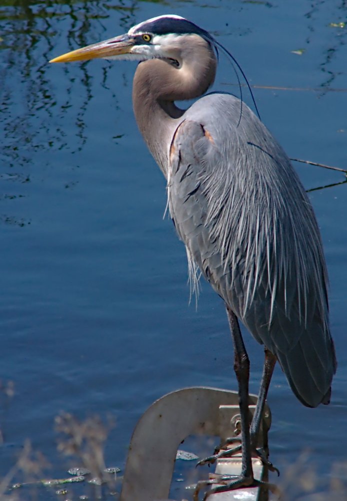
Kayaking is an outdoor activity. Yes, kids, you'll have to put down your game controllers and go outside. Out there is what us older folks call nature. Nature can actually be quite beautiful and interesting, and you don't have to worry about your screen resolution and refresh rate - both are infinity. So here is a short list of flora and fauna ( plants and animals ) that you might see in freshwater environments:
More: Wildlife ...